'%3e%3cg%3e%3cpath%20fill='%23036cb6'%20d='M0%200h134v33H0z'/%3e%3c/g%3e%3c/g%3e%3c/g%3e%3c/g%3e%3c/g%3e%3c/svg%3e)
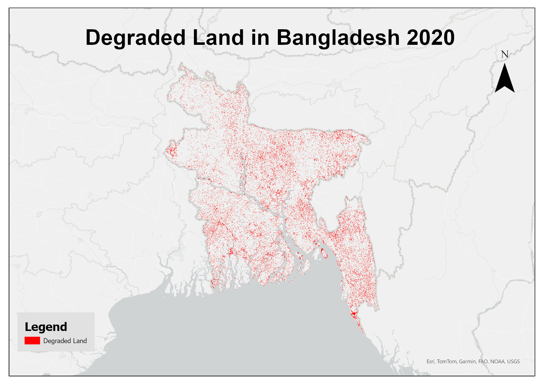
Degraded Land in Bangladesh 2020
Published date: 2025-09-25
Description
This dataset assesses land degradation in Bangladesh in 2020 based on SDG Indicator 15.3.1 by analyzing changes in land cover, land productivity, and soil organic carbon stocks. The 1OAO principle is applied in the computation method where changes in the sub-indicators are classified as improving, declining and stable. A land unit is considered degraded if any sub-indicator shows a negative or remains stable when previously degraded.
Access & Use Constraints
Creative Commons Attribution 4.0 International (CC BY 4.0)
Suggested Citation
ICIMOD. (2025). Degraded Land in Bangladesh 2020 [Data set]. ICIMOD. https://doi.org/10.26066/RDS.1973251