'%3e%3cg%3e%3cpath%20fill='%23036cb6'%20d='M0%200h134v33H0z'/%3e%3c/g%3e%3c/g%3e%3c/g%3e%3c/g%3e%3c/g%3e%3c/svg%3e)
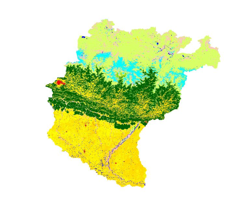
Land cover of Koshi Basin 2000
Published date: 2016-10-03
Description
High levels of water-induced erosion in the transboundary Himalayan river basins are contributing to substantial changes in basin hydrology and inundation. Basin-wide information on erosion dynamics is needed for conservation planning, but field-based studies are limited. Part of the remote sensing (RS) and a geographic information system (GIS) based soil erosion estimation and spatial distribution of across the entire Koshi basin, a land cover data of 2000 used as a Support practice factor (PL). Land cover data for 2000 were prepared from analysis of the Landsat images using object-based image analysis.
Access & Use Constraints
Creative Commons Attribution 4.0 International (CC BY 4.0)
Suggested Citation
ICIMOD. (2016). Land cover of Koshi Basin 2000 [Data set]. ICIMOD. https://doi.org/10.26066/rds.35710