'%3e%3cg%3e%3cpath%20fill='%23036cb6'%20d='M0%200h134v33H0z'/%3e%3c/g%3e%3c/g%3e%3c/g%3e%3c/g%3e%3c/g%3e%3c/svg%3e)
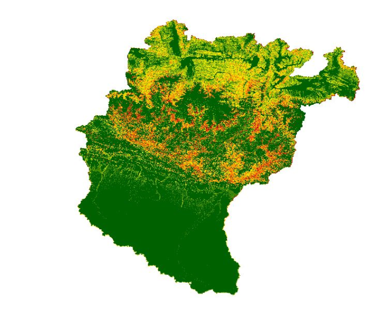
Soil loss in Koshi Basin 2010
Published date: 2016-10-03
Description
High levels of water-induced erosion in the transboundary Himalayan river basins are contributing to substantial changes in basin hydrology and inundation. Basin-wide information on erosion dynamics is needed for conservation planning, but field-based studies are limited. This study used remote sensing (RS) data and a geographic information system (GIS) to estimate the spatial distribution of soil erosion across the entire Koshi basin. The revised universal soil loss equation (RUSLE) was used in an ArcGIS environment with rainfall erosivity, soil erodibility, slope length and steepness, cover-management, and support practice factors as primary parameters. The estimated annual erosion from the basin was around 42 million tonnes.
Access & Use Constraints
Creative Commons Attribution 4.0 International (CC BY 4.0)
Suggested Citation
ICIMOD. (2016). Soil loss in Koshi Basin 2010 [Data set]. ICIMOD. https://doi.org/10.26066/rds.35711