Updated Date: 1/20/2026 2:39:37 PM
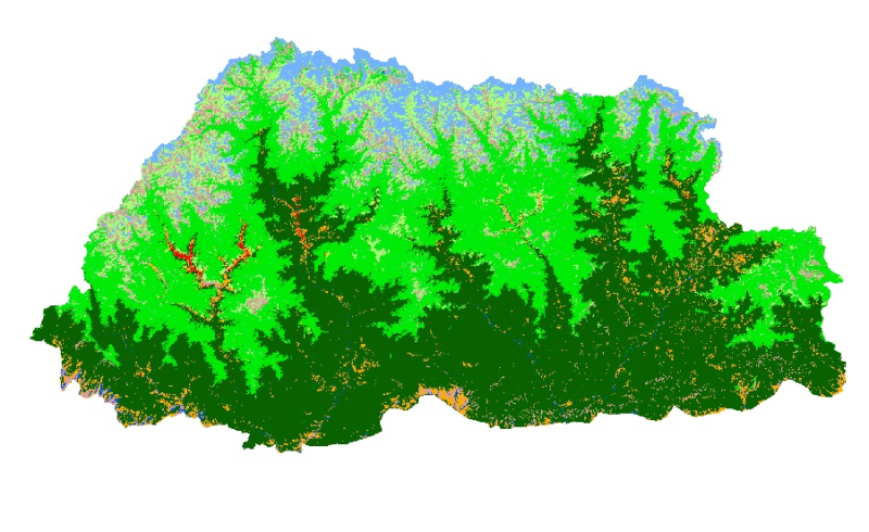
Land cover data of Bhutan for 1990. This dataset is created using the LandSat 30 meter spatial resolution satellite image of 1990.