'%3e%3cg%3e%3cpath%20fill='%23036cb6'%20d='M0%200h134v33H0z'/%3e%3c/g%3e%3c/g%3e%3c/g%3e%3c/g%3e%3c/g%3e%3c/svg%3e)
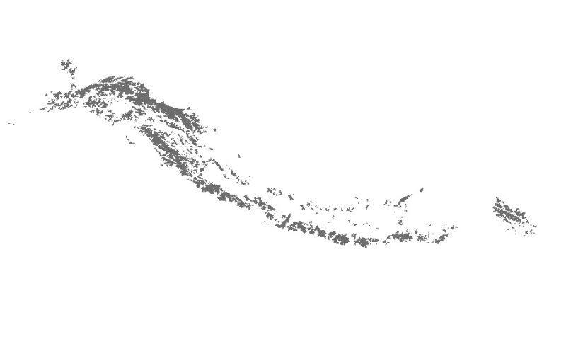
Status of Glaciers in Hindu Kush Himalayan (HKH) Region
Published date: 2011-12-04
Description
Digital polygon data of Status of Glaciers in Hindu Kush Himalayan (HKH) Region during 2005 ± 3 (2002-2008) years. This dataset is created using Landsat ETM+ imageries of respective years. The glacier outlines was derived semi-automatically using object-based image classification (OBIC ) method separately for clean ice and debris cover and further editing and validation was done carefully by draping over the high resolution images from Google Earth. The attribute data were assigned to each glacier using 90m resolution SRTM DEM. Source: ICIMOD and CAREERI (data for the Chinese part of the HKH region is a product of a national project of the Ministry of Science and Technology of China (Grant no. 2006FY110200))
Access & Use Constraints
Creative Commons Attribution 4.0 International (CC BY 4.0)
Suggested Citation
ICIMOD. (2011). Status of Glaciers in Hindu Kush Himalayan (HKH) Region [Data set]. ICIMOD. https://doi.org/10.26066/RDS.9359