'%3e%3cg%3e%3cpath%20fill='%23036cb6'%20d='M0%200h134v33H0z'/%3e%3c/g%3e%3c/g%3e%3c/g%3e%3c/g%3e%3c/g%3e%3c/svg%3e)
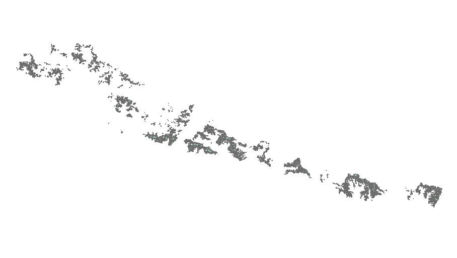
Glacier Area Change in Nepal 1980 - 2010
Published date: 2014-05-06
Description
Digital polygon data of Glaciers of Nepal in 1980, 1990, 2000 and 2010. This dataset is created using Landsat MSS,TM and ETM+ imageries of four respective decades. The glacier outlines were derived semi-automatically using object-based image classification (OBIC ) method separately for clean ice and debris cover and further editing and validation was done carefully by draping over the high resolution images from Google Earth. Moreover, the glacier outlines for 2000, 1990 and 1980 were derived manually modifying the glacier outlines of 2010 by overlaying separately the images of respective decades.
Access & Use Constraints
Creative Commons Attribution 4.0 International (CC BY 4.0)