'%3e%3cg%3e%3cpath%20fill='%23036cb6'%20d='M0%200h134v33H0z'/%3e%3c/g%3e%3c/g%3e%3c/g%3e%3c/g%3e%3c/g%3e%3c/svg%3e)
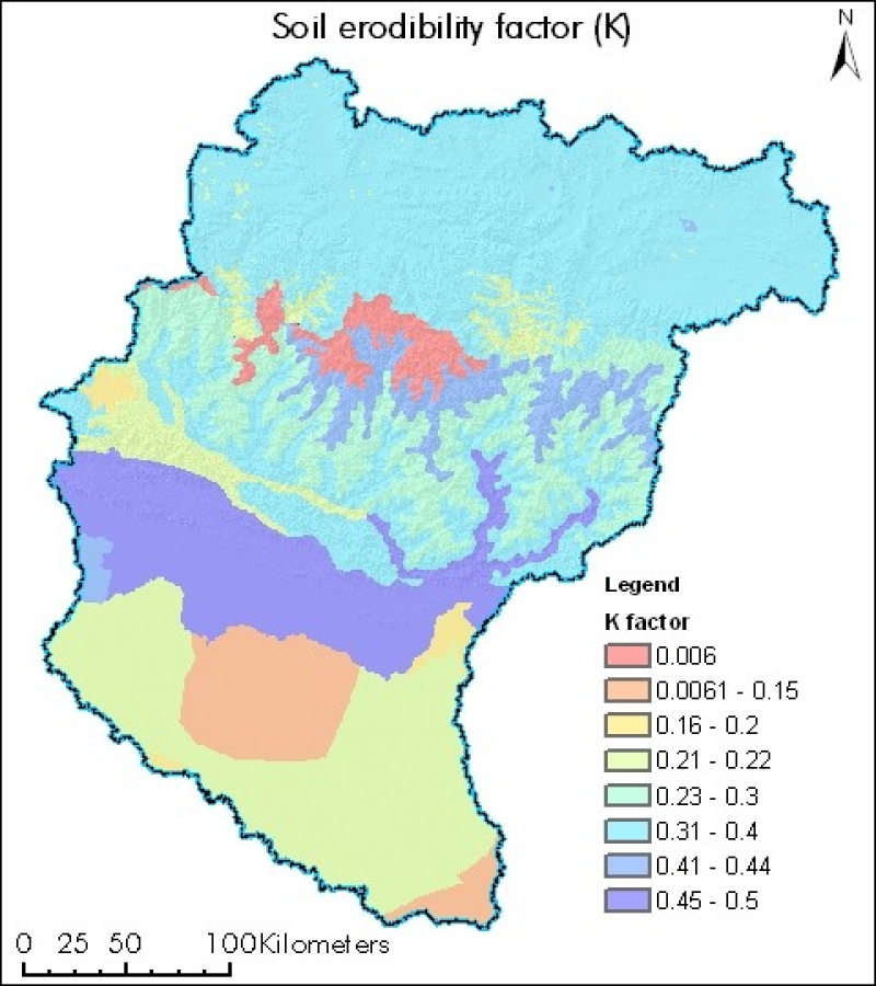
Soil erodibility factor of Koshi basin
Published date: 2013-06-13
Description
Digital polygon dataset of soil erosivity on Koshi Basin. The dataset is created using Soil maps of Nepal, India and FAO and represents the average long term soil response to the erosive power associated with rainfall and runoff. It shows a measure of the susceptibility of soil particles to detachment and transport by rainfall and runoff.