'%3e%3cg%3e%3cpath%20fill='%23036cb6'%20d='M0%200h134v33H0z'/%3e%3c/g%3e%3c/g%3e%3c/g%3e%3c/g%3e%3c/g%3e%3c/svg%3e)
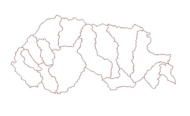
Sub Watershed Basin Boundary of Bhutan
Published date: 2012-09-21
Description
Digital polygon dataset of Sub Watershed boundaries of Bhutan. This dataset is extracted using the SRTM DEM. The boundaries were refined using LandSat images of 30m resolution. The watershed boundaries were further divided into sub-watershed boundaries in the glaciated region.