Outline Boundary of Hindu Kush Himalayan (HKH) Region
Updated Date: 1/26/2026 9:53:24 AM
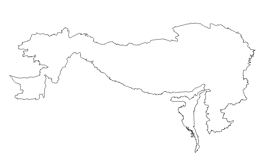
Digital line dataset of outline boundary of Hindu Kush Himalayan (HKH) Region. This dataset is Basic Vector layer derived from ESRI Map & Data 2001 and is in 1:1 million scale.
Schema
iso19139
Purpose
Outline boundary of Hindu Kush Himalayan (HKH) region
Descriptive Keyword
Outline, Boundaries (theme) Hindu Kush Himalayan Region, HKH (place)
Metadata Record Info
Language
eng
Charset
utf8
Hierarchy Level
Date
2026-01-26T09:53:24
Standard Name
ISO 19115:2003/19139
Contact
Name
Email
metadata@icimod.org
Organization Name
ICIMOD
Voice
977-1-5275222
Position name
Address
Khumaltar Lalitpur Kathmandu 3226 Nepal
Role
pointOfContact
Identification Info
Title
Outline Boundary of Hindu Kush Himalayan (HKH) Region
Date
2008-08-03T14:35:00
Date Type
publication
Abstract
Digital line dataset of outline boundary of Hindu Kush Himalayan (HKH) Region. This dataset is Basic Vector layer derived from ESRI Map & Data 2001 and is in 1:1 million scale.
Purpose
Outline boundary of Hindu Kush Himalayan (HKH) region
Status
completed
Charset
utf8
Topic Category
boundaries
Spatial Representation Type
vector
Equivalent Scale
1000000
Point Of Contact
Individual Name
Email
metadata@icimod.org
Organization Name
ICIMOD
Voice
977-1-5275222
Position name
Address
Khumaltar Lalitpur Kathmandu 3226 Nepal
Role
pointOfContact
Geographic Extent
Geographic Extent East
105.044632
Geographic Extent West
60.853848
Geographic Extent North
39.318611
Geographic Extent South
15.9578
Resource Maintenance Information
Maintenance and update frequency
asNeeded
User Defined Maintenance Frequency
Date of Next Update
Legal Constraints
Use Limitation
Creative Commons Attribution 4.0 International (CC BY 4.0)