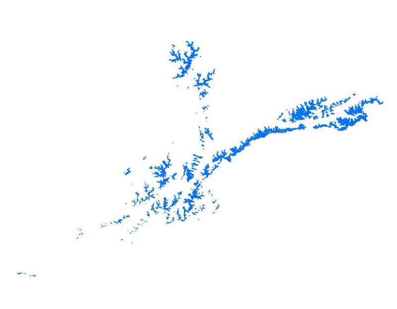
Glacier data of Afghanistan were prepared on the basis of Landsat imageries from 1990. The glacier outlines were derived semi-automatically using object-based image classification (OBIC) separately for clean-ice and debris-covered glaciers and further manual editing for quality assurance. The attributes of glacier data were derived from SRTM DEM. This dataset was jointly prepared by the Ministry of Energy and Water (MEW), Government of Afghanistan, and ICIMOD under the SERVIR-HKH Initiative.