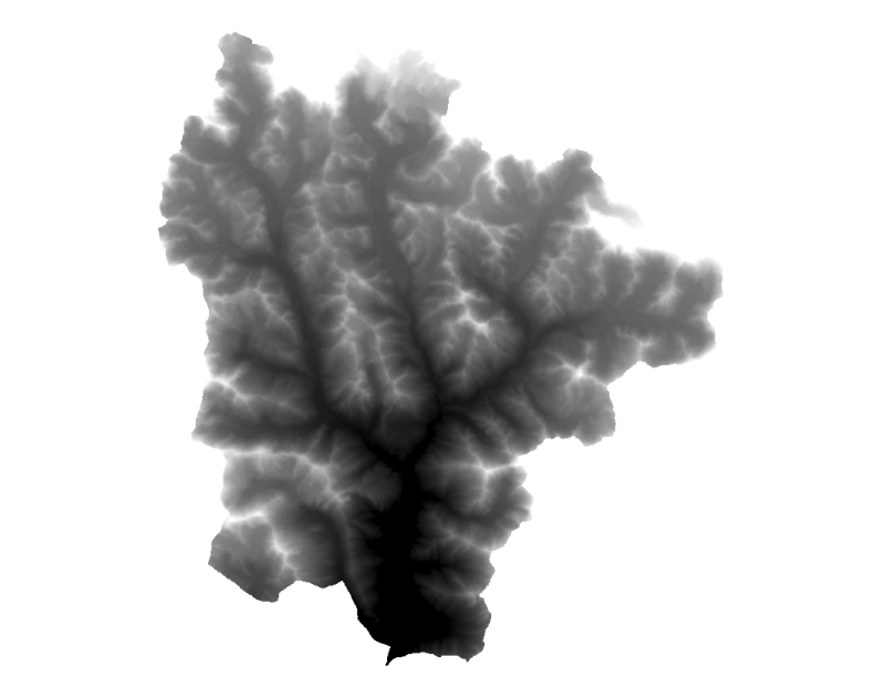
Digital Elevation Model, DEM of Sagarmatha National Park, Nepal. This dataset is DEM is created by interpolating contour and spot height using Topographic sheet data at scale of 25,000/50,000, of 1995 acquired from National Geographic Information Infrastructure Project (NGIIP), Dept. of Survey, Nepal.