'%3e%3cg%3e%3cpath%20fill='%23036cb6'%20d='M0%200h134v33H0z'/%3e%3c/g%3e%3c/g%3e%3c/g%3e%3c/g%3e%3c/g%3e%3c/svg%3e)
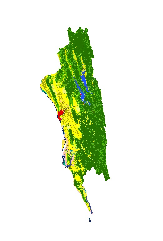
Land Cover of Greater Chittagong, Bangladesh 2000
Published date: 2011-12-27
Description
Land cover data of Greater Chittagong, Bangladesh for 2010. This dataset is created using the LandSat 30 meter spatial resolution satellite image of 2000.
Access & Use Constraints
Creative Commons Attribution 4.0 International (CC BY 4.0)
Suggested Citation
ICIMOD. (2011). Land Cover of Greater Chittagong, Bangladesh 2000 [Data set]. ICIMOD. https://doi.org/10.26066/rds.28639