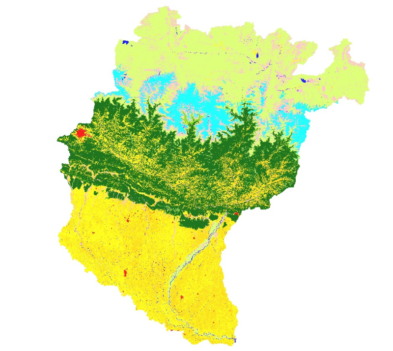
Land cover and its change analysis across Hindu Kush Himalayan region is realized as an urgent need to support diverse issues of environmental conservation. This study presents the first and most complete national land cover database of Koshi basin prepared using public domain Landsat TM data of 2010 and replicable methodology.The study estimated that Koshi basin is covered 19% by forests. The potential use of the data set for basin level sustainable land use planning strategies and meeting several global commitments also highlighted.