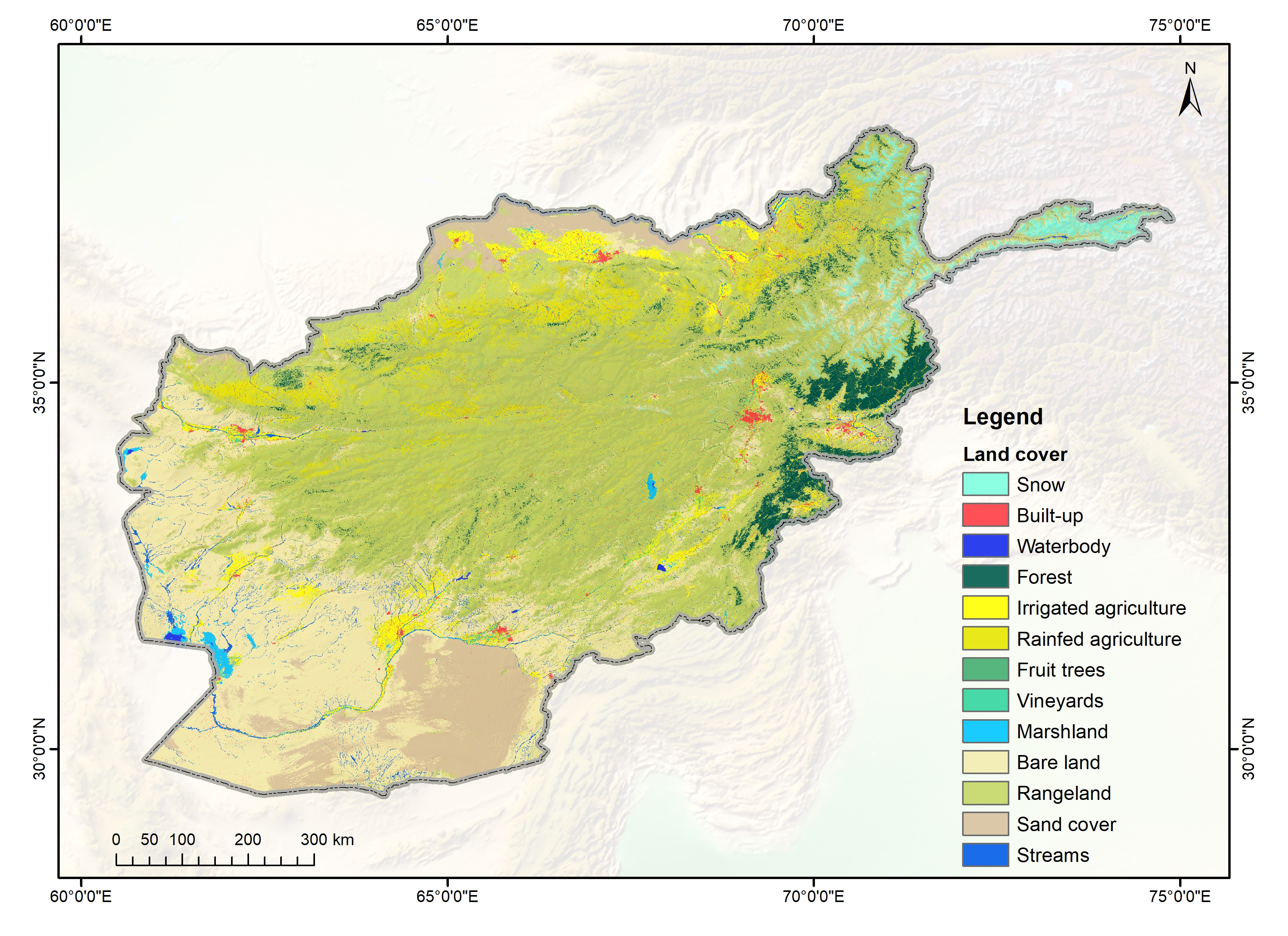
The annual land cover data of Afghanistan (2000-2018) have been created through the National Land Cover Monitoring System (NLCMS) for Afghanistan. The system uses freely available remote-sensing data (Landsat) and a cloud-based machine learning architecture in the Google Earth Engine (GEE) platform to generate land cover maps on an annual basis using a harmonized and consistent classification system. The NLCMS is developed by International Centre for Integrated Mountain Development (ICIMOD) together with Afghanistan’s Ministry of Agriculture, Irrigation and Livestock (MAIL) and National Statistic and Information Authority (NSIA). The NLCMS system is customized from the Regional Land Cover Monitoring System (RLCMS) which is a collaborative effort between SERVIR-HKH at ICIMOD and SERVIR-Mekong at the Asian Disaster Preparedness Center (ADPC), with co-development partners - the United States Forest Services (USFS), SilvaCarbon, and Global Land Analysis and Discovery (GLAD) group at the University of Maryland.
