Landslide inventory is polygon of every landslide for landslide characterization and analsysis to understand landslide distribution pattern, and identify areas susceptible to landslide events in futu..
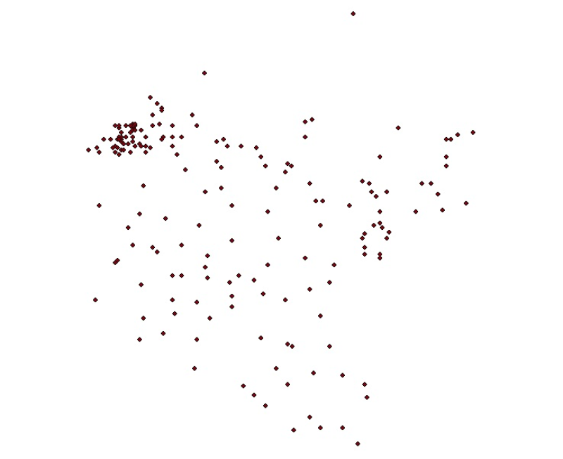
Digital point dataset of location of Meteorological Stations of Koshi Basin. The dataset is created based on data from Department of Hydrology & Meteorology, Nepal.
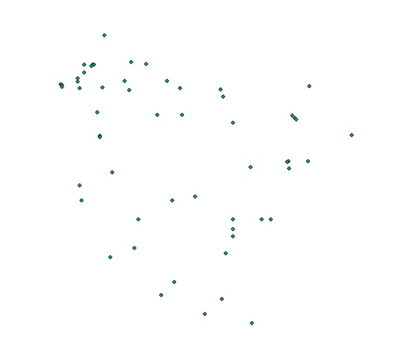
Digital point dataset of location of Hydrological Stations of Koshi Basin. The dataset is created based on data from Department of Hydrology & Meteorology, Nepal.
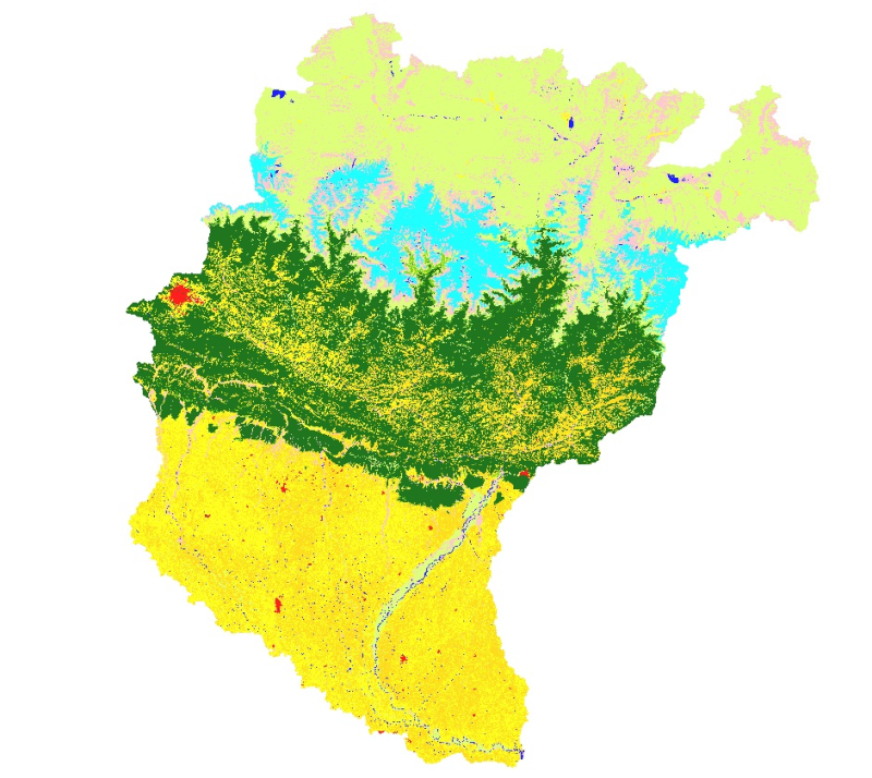
Land cover and its change analysis across Hindu Kush Himalayan region is realized as an urgent need to support diverse issues of environmental conservation. This study presents the first and most com..
Digital table data of population and population density between 2001 and 2011 of Koshi Basin. This dataset is created using population census at district level and comprise demographic information o..
Digital table data of Socio-economic Characteristics of Koshi Basin. This dataset is created using population census at district level and comprise major socio-economic indicators captured in this s..
Digital table data of Livestock and livestock products of Koshi Basin. This dataset is compiled using data sources from Statistical information on Nepalese agriculture, MoAD(2012); Economic Survey (..
Digital table data of forest-cover, irrigated and rain-fed agriculture, fertilizer use and cropping intensity of Koshi Basin. This dataset is compiled using data sources from Statistical information ..
Digital table data of Livestock population of Koshi Basin. The dataset is compiled using data sources from Statistical information on Nepalese agriculture, MoAD(2012); Economic Survey (2011/2012), G..
Digital table data of Major Agricultural crop production of Koshi Basin. This dataset consists related to area and production of major agricultural crops such as cereals, vegetables, cash crops, oil..