Road network data of East Rapti Watershed of road layer is generated by digitizing on Google Earth in order to develop an application for post flood response support.
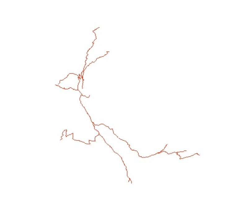
Digital line dataset of Road Network of Phobjikha Valley, Bhutan. This dataset is created using topographic sheet maps at scale of 50000 and prepared by ICIMOD.
Digital line dataset of Road Network of Chittagong Hill Tracts of Bangladesh. This dataset is basic vector layer prepared based on LGED Administrative Base Map of Bangladesh.
Digital line dataset of Road Network of Rangamati of Bangladesh. This dataset is basic vector layer based on LGED Administrative Base Map of Bangladesh.
Digital line data of Transportation Network of Thimi Municipality, Nepal. This dataset is created using Topographic sheet data at scale of 25,000/50,000, of 1995 acquired from National Geographic Inf..
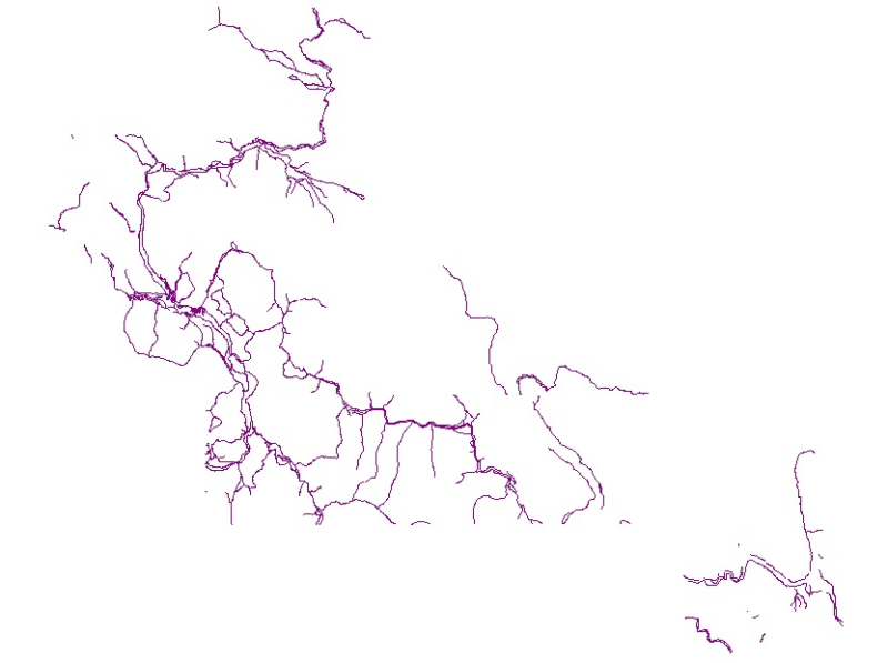
Digital line dataset of Road network of Central Karakoram National Park(CKNP) area, Pakistan. This dataset is created from topographic sheet maps at scale of 20000 and verified using DEM.