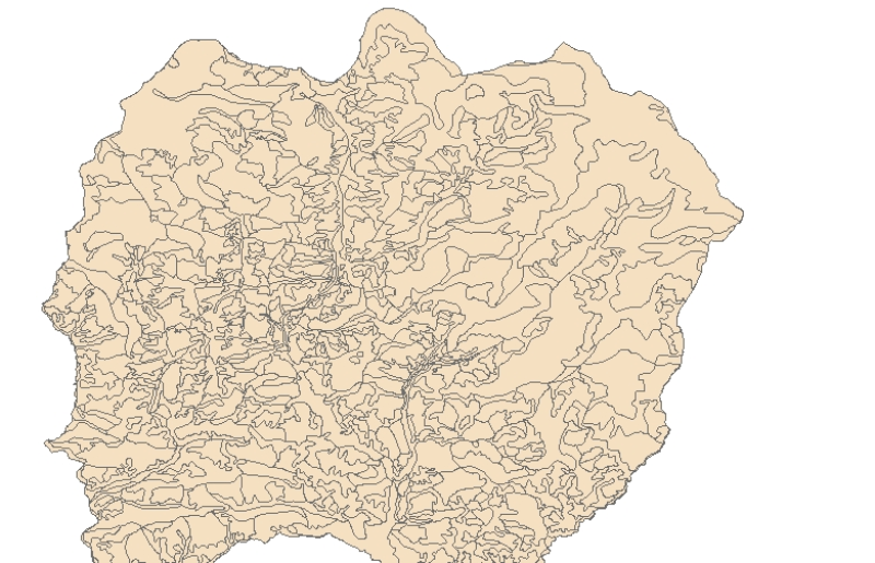
Landslide inventory is polygon of every landslide for landslide characterization and analsysis to understand landslide distribution pattern, and identify areas susceptible to landslide events in futu..
Landslide inventory is polygon of every landslide for landslide characterization and analsysis to understand landslide distribution pattern, and identify areas susceptible to landslide events in futu..
Digital table data of forest-cover, irrigated and rain-fed agriculture, fertilizer use and cropping intensity of Koshi Basin. This dataset is compiled using data sources from Statistical information ..
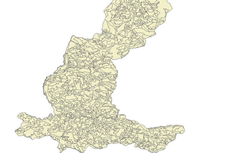
Digital data of Land use of Nepal. This dataset is created using Land use Maps of 50000 scale published by Land Resource Mapping Project (LRMP), Dept. of Survey Kathmandu, Nepal in 1984.
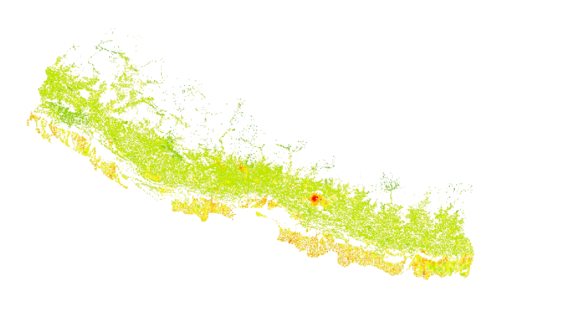
The feature layer has been extracted from the 1x1 km grid data of the population distribution of Nepal. The data has been generated using the population census 2011 of Nepal and the landuse 2010 dat..
Digital polygon dataset of Land use of Sagarmatha National Park, Nepal. This dataset is created using Land use map created by Land Resources Mapping Project (LRMP) 1986.
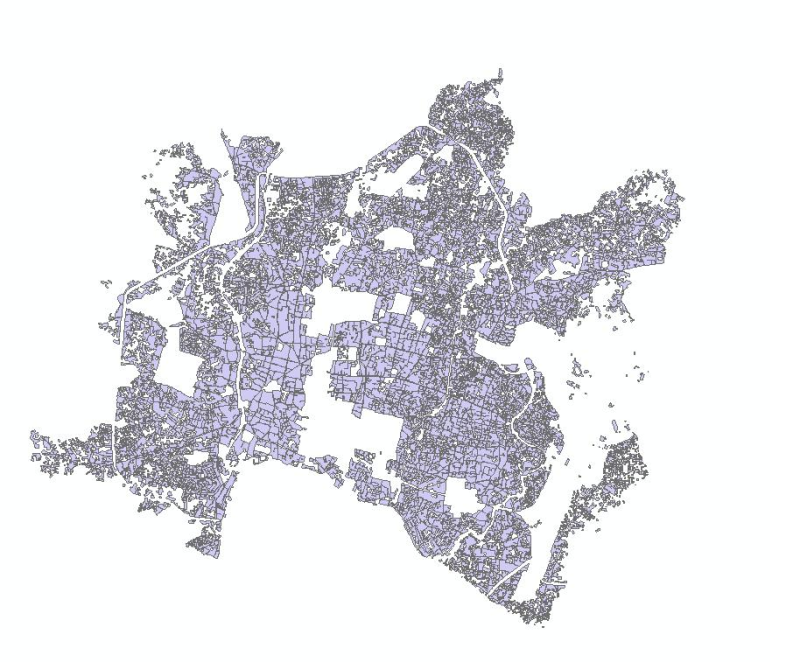
Digital dataset of Land use of Dhading district, Nepal. This dataset is created using 1:50,000 scale Land use map of Land published by Land Resource Mapping Project (LRMP), Dept. of Survey, Nepal 198..
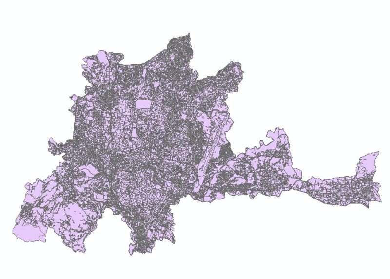
Digital dataset of Land use of Lamjung district, Nepal. This dataset is created using Land use map published by Land Resource Mapping Project (LRMP), Department of Survey, Nepal 1986.