Digital polygon dataset of Tenure type of Residential Units of Chittagong Hill Tracts of Bangladesh. This dataset is basic vector layer prepared based on LGED Administrative Base Map and Bangladesh B..
Digital point data of Bridge locations of Kirtipur Municipality, Nepal. This dataset is created using Utility and Infrastructure CAD data of Scale 1:2,000 prepared by Kathmandu Urban Development Proj..
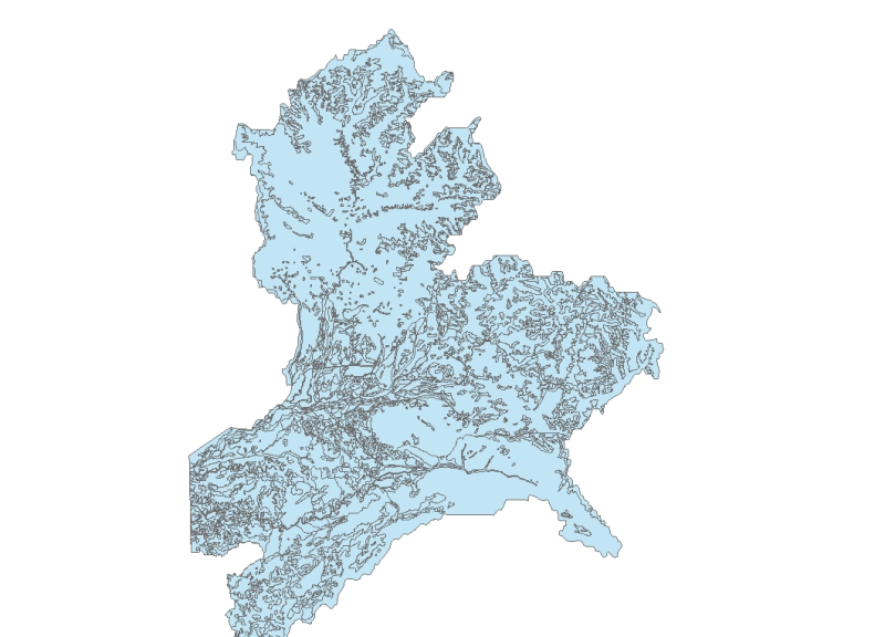
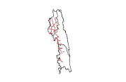
Digital line dataset of Road Network of Chittagong Hill Tracts of Bangladesh. This dataset is basic vector layer prepared based on LGED Administrative Base Map of Bangladesh.
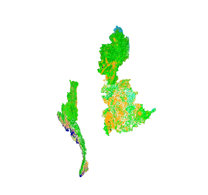
Land cover data of Hindu Kush Himalayan region of Myanmar for 2010. This dataset is created using the LandSat 30 meter spatial resolution satellite image of 2010 and includes land cover information f..
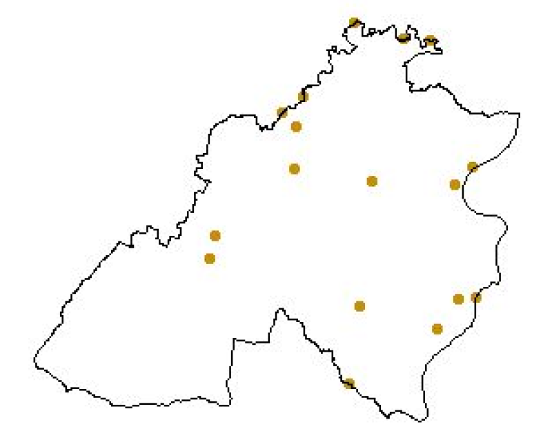
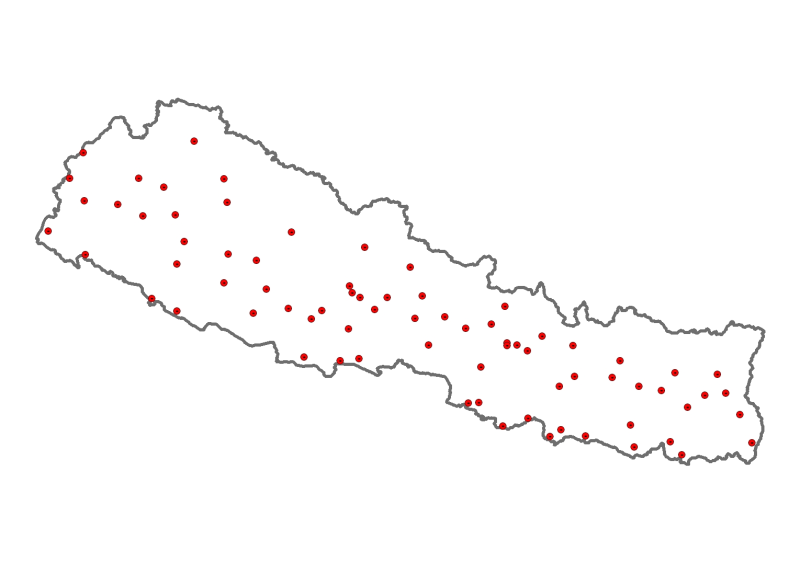
Digital point data of District Headquarter locations of Nepal. This dataset is created using Topographic Zonal Map of 250000 scale published by Department of Survey Nepal in 1988 and is in geographic..
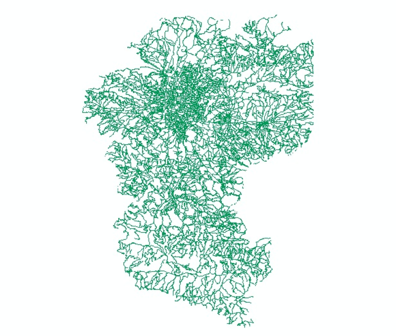
Digital polygon data of Building clusters of Thimi Municipality, Nepal. This dataset is created using Topographic sheet data at scale of 25,000/50,000, of 1995 acquired from National Geographic Infor..