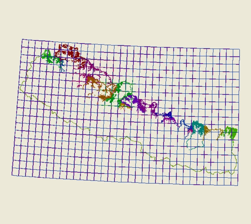
Digital polygon data of Glaciers, Glacial Lakes and Potential Glacial Lake Outburst Floods (GLOFs) locations of Nepal. This dataset is created using satellite images (Landsat, TM, ETM+ imageries) of of different years. The glacier and glacier lake outlines was derived semi-automatically using object-based image classification (OBIC). The dataset is created under Inventory of Glaciers, Glacial Lakes and the Identification of Potential Glacial Lake Outburst Floods (GLOFs) mapping in collaboration with United Nations Environment Programme /Regional Resource Centre for Asia and the Pacific (UNEP/RRC-AP).