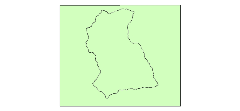
Digital polygon dataset of Boundaryd of Charnawati Watershed, Dolakha, Nepal. This dataset is extracted from GeoEye satellite image of 0.5 meter spatial resolution dated November 2009 and field verified on 2010. The data was prepared for the Reducing Emission from Deforestation and Forest Degradation (REDD) Pilot Project. This is a joint project of ICIMOD with Asian Network for Sustainable Agriculture and Bioresources (ANSAB) and Federation of Community for Forest Users of Nepal (FECOFUN) funded by NORAD.