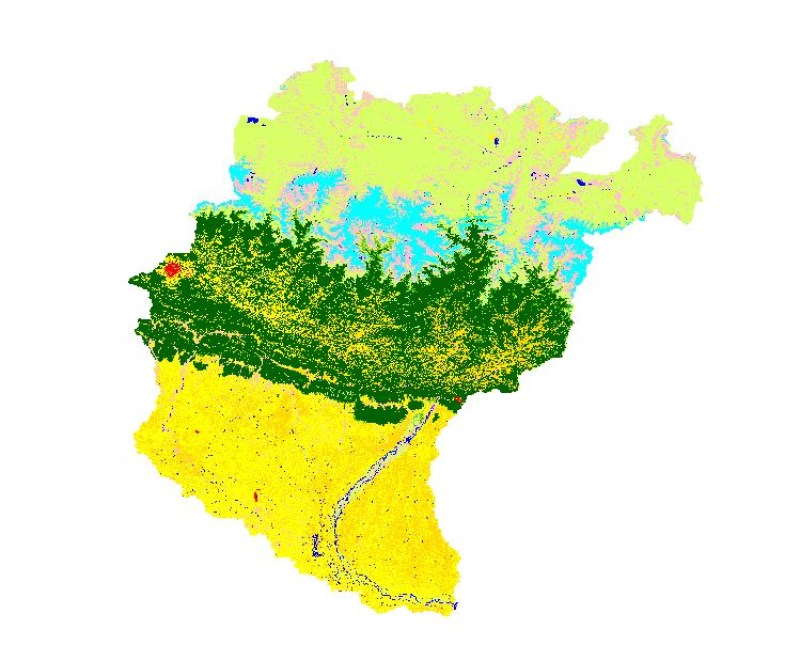
High levels of water-induced erosion in the transboundary Himalayan river basins are contributing to substantial changes in basin hydrology and inundation. Basin-wide information on erosion dynamics is needed for conservation planning, but field-based studies are limited. Part of the remote sensing (RS) and a geographic information system (GIS) based soil erosion estimation and spatial distribution of across the entire Koshi basin, a land cover map of 1990 used as a Support practice factor (PL). Land cover data for 1990 were prepared from analysis of the Landsat images using object-based image analysis.