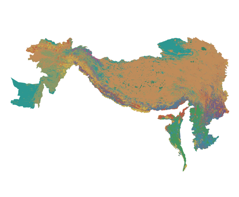
Digital dataset of Land cover of Hindu Kush Himalayan (HKH) Region. This dataset is basic vector layer with 1km spatial resolution and acquired from International Geosphere Biosphere Programme (IGBP). The dataset is based on 1-km Advanced Very High Resolution Radiometer (AVHRR) data spanning April 1992 through March 1993.