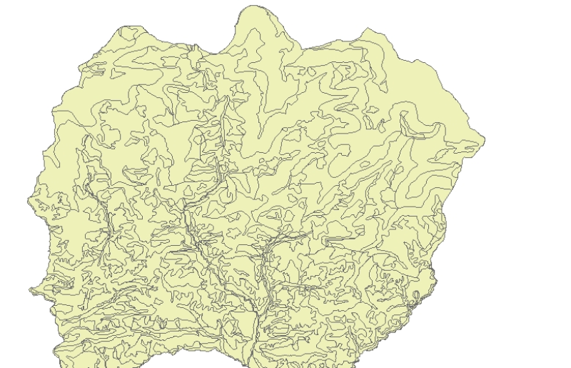
Digital polygon dataset of Land capability of Lamjung district, Nepal. The dataset includes details of potential land uses, soil type, drainage conditions etc. This dataset is created using 1:50,000 scale Land capability map published by Land Resource Mapping Project (LRMP), Department of Survey, Nepal 1984.