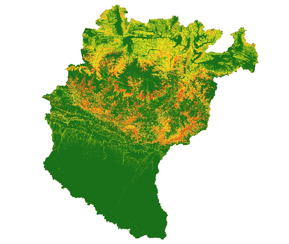
Accelerated soil erosion is a common and environmentally destructive consequence of development in the populated trans-boundary Koshi river basin. The objective of this study was to assess assessment of soil erosion pattern and dynamic change trend of spatial distribution in erosion status between 1990 and 2010 and obtained the conservation priority map in the Koshi basin area using GIS and remote sensing. To develop soil erosion pattern revised universal soil loss equation (RUSLE) were adopted in ArcGIS environment where is the rainfall erosivity, soil erodibility, slope length factor, crop management factor and support practice factors were used a primary parameters. This study result the annual total erosion 4,35,996 ton/ha/yr in 2010.