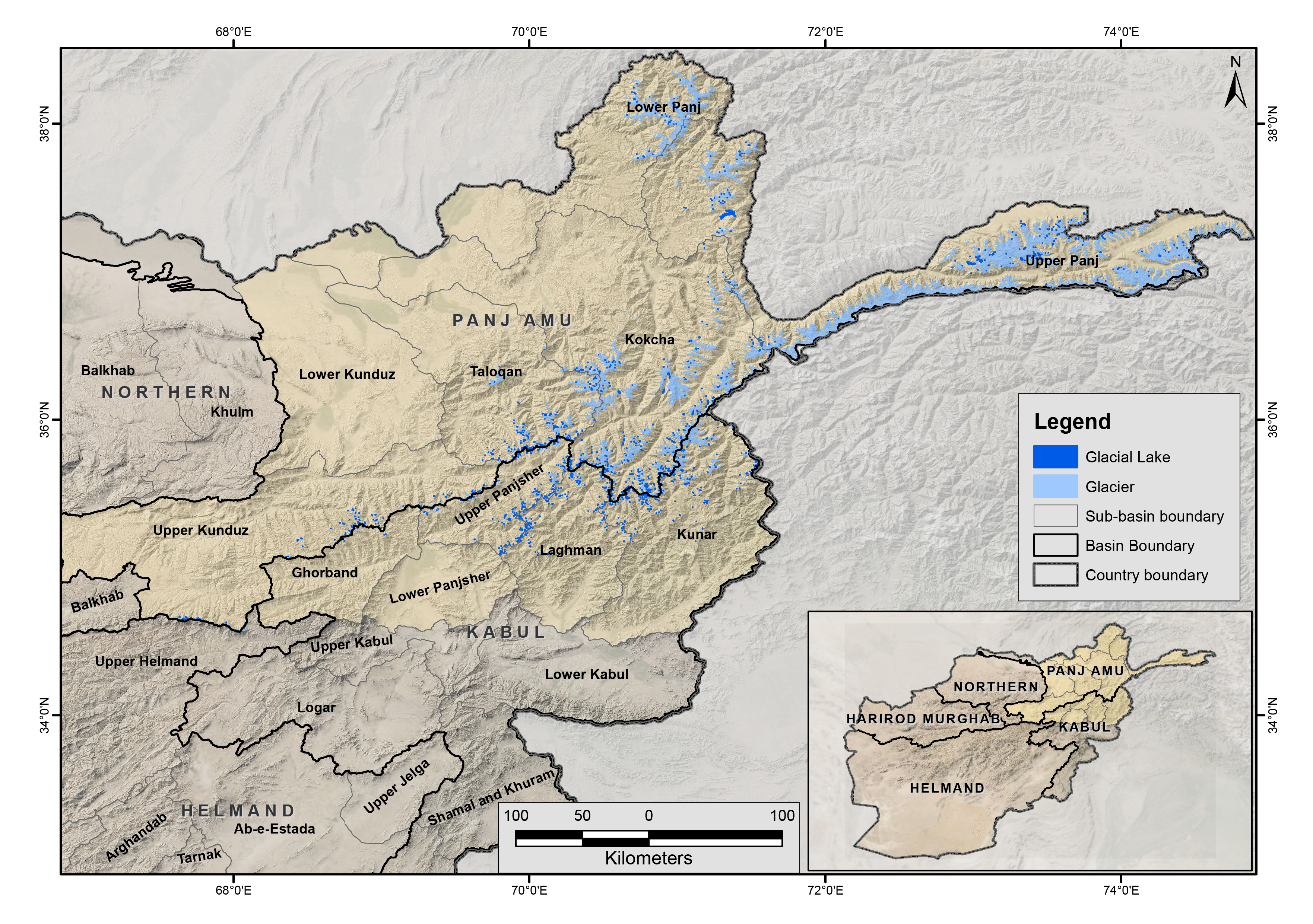
The glacial lakes of Afghanistan were mapped using Landsat image that were selected based in a one-year buffer surrounding a representative year. For instance, the Landsat images from 2014 to 2016 were used to represent 2015 depending on the quality of images (least snow cover and cloud cover). The glacial lakes were extracted semi-automatically through an object-based image classification (OBIC) method and were then subjected to manual editing for quality control. The attributes of the data were extracted from the SRTM DEM. This dataset was produced in collaboration between the National Water Affairs Regulation Authority (NWARA) of the Government of Afghanistan and ICIMOD as part of the SERVIR-HKH Initiative.