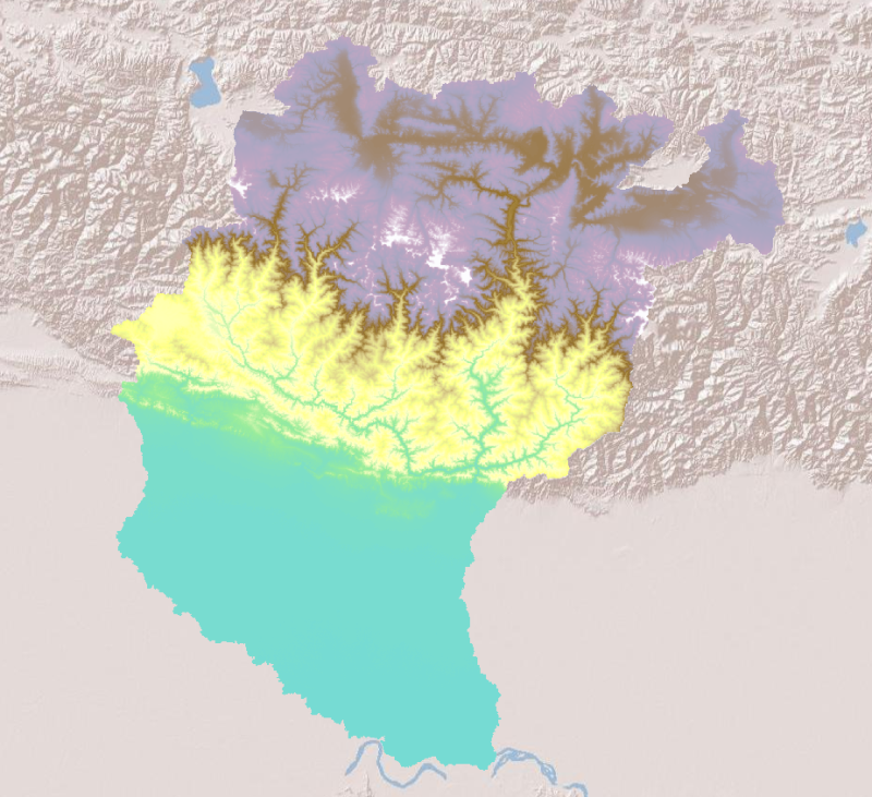
Digital point dataset of Location Mountain Peaks of Koshi Basin. This dataset is created using Topographic sheet data at scale of 25,000/50,000, of 1995 acquired from National Geographic Information..
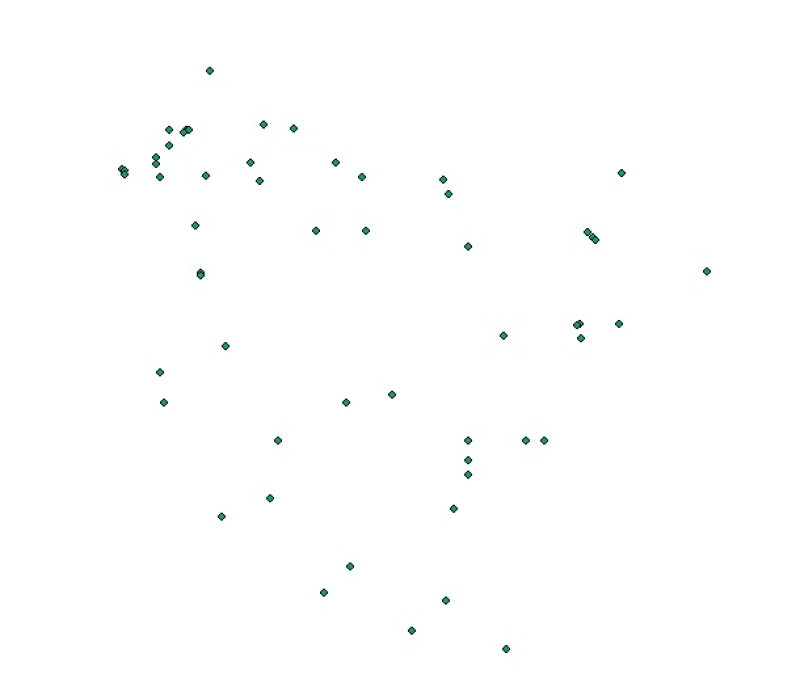
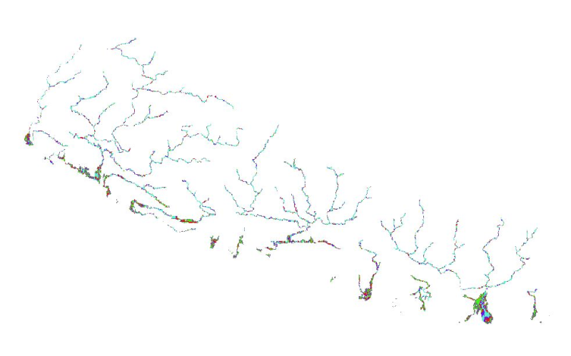
Digital point dataset of location of Hydrological Stations of Koshi Basin. The dataset is created based on data from Department of Hydrology & Meteorology, Nepal.
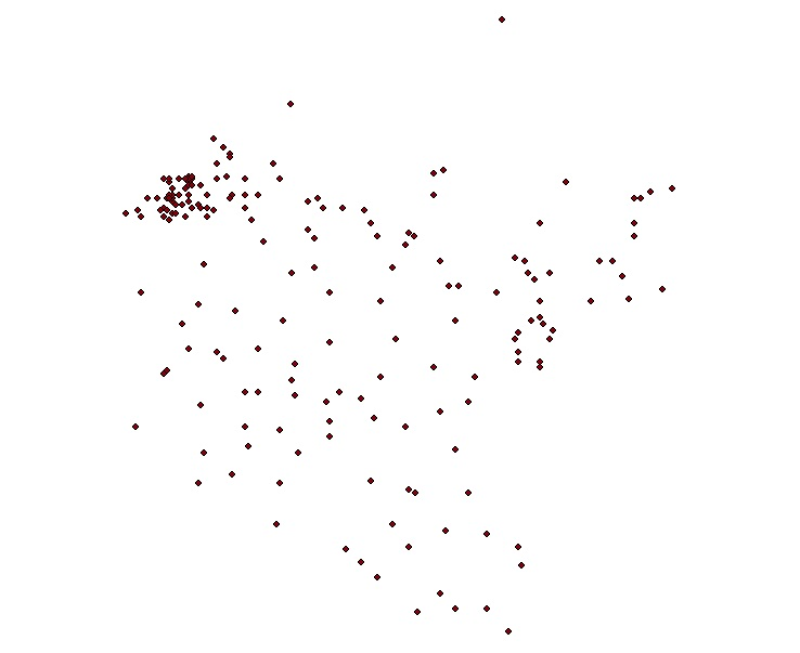
Digital point dataset of location of Meteorological Stations of Koshi Basin. The dataset is created based on data from Department of Hydrology & Meteorology, Nepal.
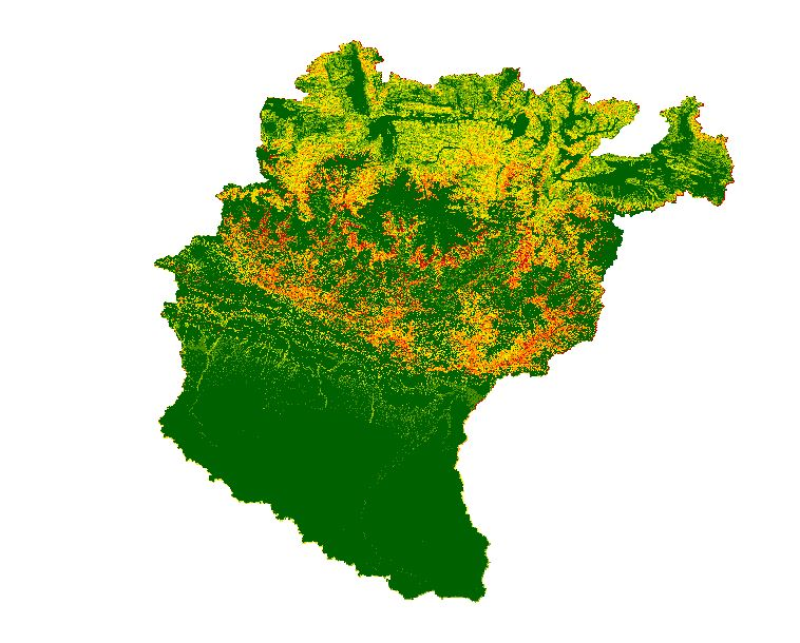
High levels of water-induced erosion in the transboundary Himalayan river basins are contributing to substantial changes in basin hydrology and inundation. Basin-wide information on erosion dynamics ..
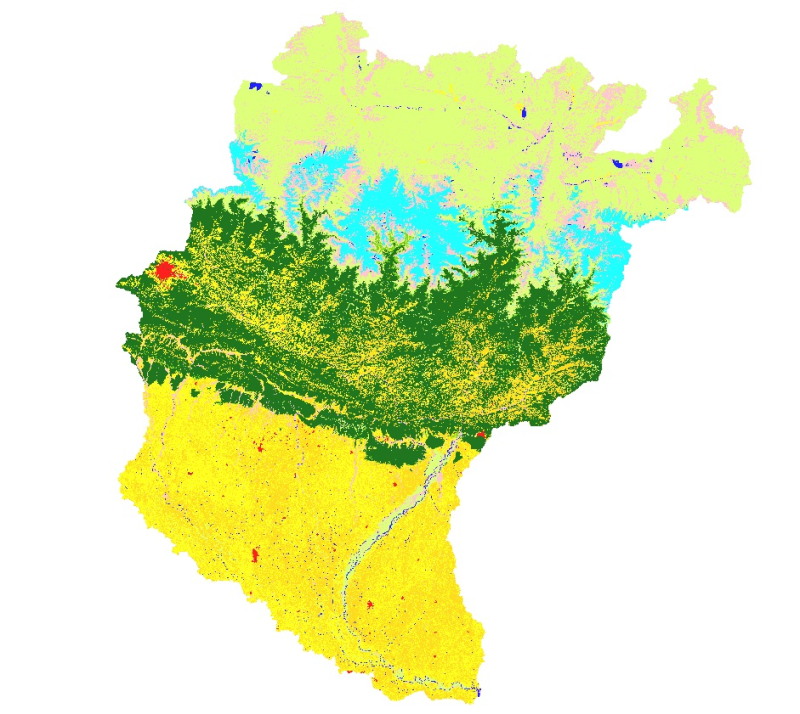
Land cover and its change analysis across Hindu Kush Himalayan region is realized as an urgent need to support diverse issues of environmental conservation. This study presents the first and most com..
Nepal is one of the most flood prone country and the flood hazard layer represents modelled hazard representations along major rivers of Nepal. The project with external funding was implemented by DW..
Digital table data of Major Agricultural crop production of Koshi Basin. This dataset consists related to area and production of major agricultural crops such as cereals, vegetables, cash crops, oil..