 Metadata Catalogue
boundaries
Type of resources
Available actions
Topics
Keywords
Contact for the resource
Provided by
Years
Formats
Representation types
Update frequencies
status
Scale
Resolution
-
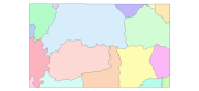
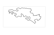
Digital polygon data of Village Development Committee, VDC Boundary of Ludhi Khola Watershed, Gorkha, Nepal. This dataset is created using Topographic sheet data at scale of 25,000/50,000, of 1995 acquired from National Geographic Information Infrastructure Project (NGIIP), Dept. of Survey, Kathmandu, Nepal. The data was prepared for the Reducing Emission from Deforestation and Forest Degradation (REDD) Pilot Project. This is a joint project of ICIMOD with Asian Network for Sustainable Agriculture and Bio-resources (ANSAB) and Federation of Community for Forest Users of Nepal (FECOFUN) funded by NORAD.
-
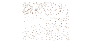
Digital point data of Settlement locations of Charnawati River Watershed, Dolakha, Nepal. This dataset is created using Topographic sheet data at scale of 25,000/50,000, of 1995 acquired from National Geographic Information Infrastructure Project (NGIIP), Dept. of Survey Kathmandu, Nepal. The data was prepared for the Reducing Emission from Deforestation and Forest Degradation (REDD) Pilot Project. This is a joint project of ICIMOD with Asian Network for Sustainable Agriculture and Bio-resources (ANSAB) and Federation of Community for Forest Users of Nepal (FECOFUN) funded by NORAD.
-
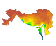
Digital grid data of Mean Precipitation of August for Hindu Kush Himalayan (HKH) Region. This dataset is acquired from USGS.
-
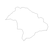
Digital line dataset of Watershed Boundary of Phobjikha Valley, Bhutan. This dataset is created using topographic sheet maps at scale of 50000 and prepared by ICIMOD.
-
Digital polygon dataset of Park Boundary of Central Karakoram National Park (CKNP) area, Pakistan. This dataset is created using topographic sheet maps at scale of 20000.
-
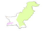
Digital polygon dataset of Major River Basins of Pakistan. This dataset is Basic Vector layer derived from ESRI Map & Data 2001.
-
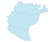
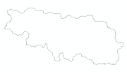
Digital polygon dataset of International boundaries of countries of Koshi Basin. This dataset is derived from HKH Country boundary database.
-
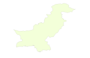
Digital polygon dataset of Country Boundary of Pakistan. This dataset is basic Vector layer acquired from ESRI Data and Maps, 2001.
-
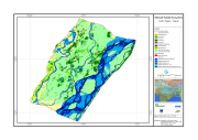
Digital dataset of Wetland ecosystem of Koshi Tappu Reserve within Koshi Basin. This dataset consist various vegetation cover/ land cover and water bodies for Koshi Tappu.
-
Digital polygon dataset of Administrative boundary of Qomolangma Natural Preserve (QNP), Tibet, China.