 Metadata Catalogue
Keyword
Wangchu
Type of resources
Available actions
Topics
Keywords
Contact for the resource
Provided by
Representation types
Update frequencies
status
Scale
From
1
-
4
/
4
-
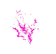
Digital point dataset of Populated places of Wangchu, Bhutan. This dataset is created using topographic sheet maps at scale of 50000 and prepared by ICIMOD.
-

Digital point dataset of Dam site locations of Wangchu, Bhutan. This dataset is created using topographic sheet maps at scale of 50000 and prepared by ICIMOD.
-
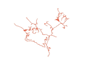
Digital line dataset of Road network of Wangchu, Bhutan. This dataset is created using topographic sheet maps at scale of 50000 and prepared by ICIMOD.
-

Digital line dataset of Drainage Network of Wangchu, Bhutan. This dataset is created using topographic sheet maps at scale of 50000 and prepared by ICIMOD.