 Metadata Catalogue
Keyword
Sub-District
Type of resources
Topics
Keywords
Contact for the resource
Provided by
Representation types
Update frequencies
status
Scale
From
1
-
2
/
2
-
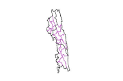
Digital line dataset of Sub-District Boundary of Chittagong Hill Tracts of Bangladesh. This dataset is basic vector layer prepared based on LGED Administrative Base Map of Bangladesh.
-
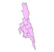
Digital polygon dataset of Sub-District Boundary of Rangamati of Bangladesh. This dataset is basic vector layer based on LGED Administrative Base Map of Bangladesh.