 Metadata Catalogue
River
Type of resources
Available actions
Topics
Keywords
Contact for the resource
Provided by
Years
Representation types
Update frequencies
status
Scale
Resolution
-
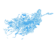
This river (line) vector digital data of Gorkha District was prepared by ICIMOD based on Indian toposheet (1:50,000),1950s.
-

Digital polygon dataset of River System of Afghanistan. This dataset is acquired from Afghanistan Information Management Systems (AIMS), Afghanistan.
-
Digital polygon dataset of Drainage System of Afghanistan. This dataset is acquired from ESRI Data and Maps 2001.
-
The rivers layer shows the shows the location, Length and direction of all rivers across the country.
-
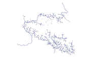
Digital line dataset of drainage network of Central Karakoram National Park(CKNP) area, Pakistan. The dataset is compiled through GPS based field survey conducted in year 2008.
-
This Layer shows five major water basins (Norther Basin, Hari Rod-Lower, South Eastern Basin, Northern Basin, Helmand Basin and Nondranage areas in Southern part of Afghanistan.
-
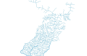
River network of East Rapti was digitized on ArcGIS at 1:1500 scale.
-

Nepal is one of the most flood prone country and the flood hazard layer represents modelled hazard representations along major rivers of Nepal. The project with external funding was implemented by DWIDM.
-

Nepal is one of the most flood prone country and the flood hazard layer represents modelled hazard representations along major rivers of Nepal. The project with external funding was implemented by DWIDM.
-

Nepal is one of the most flood affected country in the world. The frequency, intensity and duration of floods has been increased during last few decades. Due to increased population settlements in floodplains and irregular development damage of infrastructure, crop and property has increased creating severe impact on lives and livelihood. Understanding the severity and identification of extent and types of flood damage is highly important to plan effective response. The aim of this study was to develop appropriate methodology to determine extent of flood and damaged areas in near real time basis to support operational response. We have used Sentinel-1 synthetic aperture radar (SAR) images to generate flood extend data for the year 2017.