 Metadata Catalogue
Ponds
Type of resources
Topics
Keywords
Contact for the resource
Provided by
Representation types
Update frequencies
status
Scale
-
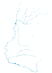
Digital polygon data of water areas location in Kathmandu valley, Nepal. This dataset is created using Topographic sheet data at scale of 25,000/50,000, of 1995 acquired from National Geographic Information Infrastructure Project (NGIIP), Dept. of Survey, Nepal and for emergency response planning in case of earthquake disaster.
-
This dataset presents the findings of a springshed management initiative conducted across seven municipalities in the Kavrepalanchok district of Nepal, addressing critical water stress caused by the drying of springs and ponds. Spanning 743 sq. km, the dataset includes detailed mapping of 5,689 water sources, of which 27% have dried due to factors such as earthquakes, droughts, infrastructure development, and natural disasters, while 58% of the active springs show declining flow trends. The dataset provides information on water source locations, conditions, discharge rates, usage patterns, socio-economic data of dependent users, community-implemented adaptation measures, biophysical characteristics, and governance aspects. Data collection followed a six-step protocol for springshed management, with 150 trained community resource persons (CRPs) using the Survey123 app for efficient and accurate digital documentation. This initiative demonstrates the potential of a citizen science approach to large-scale spring documentation, offering a foundation for evidence-based water resource management and policy development. The emphasis on gender inclusivity, digital innovation, and local knowledge provides valuable insights for scaling springshed management across the Hindu Kush Himalaya and similar regions.