Land cover
Type of resources
Available actions
Topics
Keywords
Contact for the resource
Provided by
Representation types
Update frequencies
status
Scale
Resolution
-

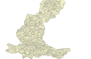
Digital data of Land use of Nepal. This dataset is created using Land use Maps of 50000 scale published by Land Resource Mapping Project (LRMP), Dept. of Survey Kathmandu, Nepal in 1984.
-

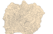
Digital dataset of Land use of Dhading district, Nepal. This dataset is created using 1:50,000 scale Land use map of Land published by Land Resource Mapping Project (LRMP), Dept. of Survey, Nepal 1984.
-

Digital dataset of Land use of Lamjung district, Nepal. This dataset is created using Land use map published by Land Resource Mapping Project (LRMP), Department of Survey, Nepal 1986.
-

Digital data of Land use of RDT Centre of Bhutan. This dataset is prepared by ICIMOD based on ground survey 2008.
-

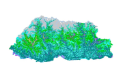
Land cover data of Bhutan for 2010. This dataset is created using the LandSat 30 meter spatial resolution satellite image of 2010.
-

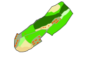
Digital dataset of Land cover of Ludhi Khola Watershed, Gorkha, Nepal. This dataset is created using GeoEye 0.5 meter spatial resolution satellite image of November 2009 and field verified in 2010. The data was prepared for the Reducing Emission from Deforestation and Forest Degradation (REDD) Pilot Project. This is a joint project of ICIMOD with Asian Network for Sustainable Agriculture and Bioresources (ANSAB) and Federation of Community for Forest Users of Nepal (FECOFUN) funded by NORAD.
-

Land cover and its change analysis across Hindu Kush Himalayan region is realized as an urgent need to support diverse issues of environmental conservation. This study presents the first and most complete national land cover database of Koshi basin prepared using public domain Landsat TM data of 2010 and replicable methodology.The study estimated that Koshi basin is covered 19% by forests. The potential use of the data set for basin level sustainable land use planning strategies and meeting several global commitments also highlighted.
-

Land Cover data of Bhutan for 2000. This dataset is created using the LandSat 30 meter spatial resolution satellite image of 2000.
-

Land cover data of Bhutan for 1990. This dataset is created using the LandSat 30 meter spatial resolution satellite image of 1990.
-

High levels of water-induced erosion in the transboundary Himalayan river basins are contributing to substantial changes in basin hydrology and inundation. Basin-wide information on erosion dynamics is needed for conservation planning, but field-based studies are limited. Part of the remote sensing (RS) and a geographic information system (GIS) based soil erosion estimation and spatial distribution of across the entire Koshi basin, a land cover map of 1990 used as a Support practice factor (PL). Land cover data for 1990 were prepared from analysis of the Landsat images using object-based image analysis.
 Metadata Catalogue