 Metadata Catalogue
Lamjung
Type of resources
Topics
Keywords
Contact for the resource
Provided by
Representation types
Update frequencies
status
Scale
-
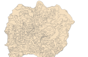
Digital polygon dataset of Land capability of Lamjung district, Nepal. The dataset includes details of potential land uses, soil type, drainage conditions etc. This dataset is created using 1:50,000 scale Land capability map published by Land Resource Mapping Project (LRMP), Department of Survey, Nepal 1984.
-
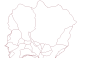
Digital line dataset of Road Network of Lamjung district, Nepal. This dataset is created using Central Service Map of 1:125,000 scale, published by Suspension Bridge Division (SBD), Kathmandu, Nepal in 1989.
-
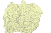
Digital line dataset of River Network of Lamjung district, Nepal. This dataset is created using Topographic sheet data at scale of 50,000 acquired from Department of Survey, Kathmandu, Nepal.
-
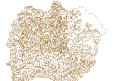
Digital dataset of Land use of Lamjung district, Nepal. This dataset is created using Land use map published by Land Resource Mapping Project (LRMP), Department of Survey, Nepal 1986.
-
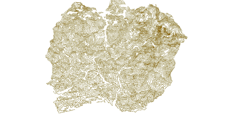
Digital line dataset of Elevation Contours of Lamjung district, Nepal. This dataset is created using Topographic sheet data at scale of 50,000 acquired from Department of Survey, Kathmandu, Nepal. Contour interval is 500 feet.