 Metadata Catalogue
Kathmandu Valley
Type of resources
Topics
Keywords
Contact for the resource
Provided by
Representation types
Update frequencies
status
Scale
-

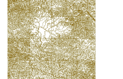
Digital line data of Graticules (latitude and longitude lines) of Kathmandu Valley. This dataset is created using Topographic sheet data at scale of 25,000/50,000, of 1996 acquired from National Geographic Information Infrastructure Project (NGIIP), Dept. of Survey, Nepal.
-
Digital point data of Tree cluster of Thimi Municipality, Nepal. This dataset is created using Topographic sheet data at scale of 25,000/50,000, of 1995 acquired from National Geographic Information Infrastructure Project (NGIIP), Dept. of Survey, Nepal and for emergency response planning in case of earthquake disaster.
-
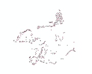
Digital line dataset of Road Network of Kathmandu Valley, Nepal. This dataset is created using Topographic sheet data at scale of 25,000/50,000, of 1995 acquired from National Geographic Information Infrastructure Project (NGIIP), Dept. of Survey Kathmandu, Nepal.
-
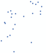
Digital point dataset of Location of Health posts of Kathmandu Valley, Nepal. This dataset is created using Topographic sheet data at scale of 25,000/50,000, of 1995 acquired from National Geographic Information Infrastructure Project (NGIIP), Dept. of Survey Kathmandu, Nepal.
-
Digital point dataset of Location of Schools of Kathmandu Valley, Nepal. This dataset is created using Topographic sheet data at scale of 25,000/50,000, of 1995 acquired from National Geographic Information Infrastructure Project (NGIIP), Dept. of Survey Kathmandu, Nepal.
-
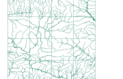
Digital line dataset of River Network of Kathmandu Valley, Nepal. This dataset is created using Topographic sheet data at scale of 25,000/50,000, of 1995 acquired from National Geographic Information Infrastructure Project (NGIIP), Dept. of Survey Kathmandu, Nepal.
-
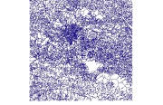
Digital point dataset of Elevation Contours of Kathmandu Valley, Nepal. This dataset is created using Topographic sheet data at scale of 25,000/50,000, of 1995 acquired from National Geographic Information Infrastructure Project (NGIIP), Dept. of Survey Kathmandu, Nepal.
-
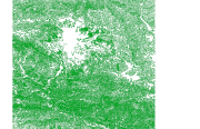
Digital polygon dataset of Water bodies of Kathmandu Valley, Nepal. This dataset is created using Topographic sheet data at scale of 25,000/50,000, of 1995 acquired from National Geographic Information Infrastructure Project (NGIIP), Dept. of Survey Kathmandu, Nepal.
-
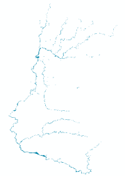
Digital line dataset of Major River Network of Kathmandu Valley, Nepal. This dataset is created using Topographic sheet data at scale of 25,000/50,000, of 1995 acquired from National Geographic Information Infrastructure Project (NGIIP), Dept. of Survey Kathmandu, Nepal.
-
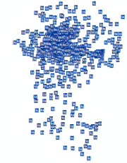
Digital point dataset of Major Settlements of Kathmandu Valley, Nepal. This dataset is created using Topographic sheet data at scale of 25,000/50,000, of 1995 acquired from National Geographic Information Infrastructure Project (NGIIP), Dept. of Survey Kathmandu, Nepal.