 Metadata Catalogue
Geology
Type of resources
Available actions
Topics
Keywords
Contact for the resource
Provided by
Years
Representation types
Update frequencies
status
Scale
-
Digital polygon dataset of Geological zones of Afghanistan. This dataset is basic Vector layer acquired from USGS in 2001.
-
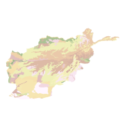
Digital polygon dataset of soil types of Afghanistan. This dataset is basic Vector layer acquired from USGS in 2001.
-
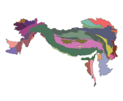
Digital polygon dataset of Geologic Province of Hindu Kush Himalayan (HKH) Region. This dataset is basic Vector layer acquired from USGS.
-

Digital polygon data of Geology of Nepal. This dataset is created using geological Map of 1,000,000 scale published by Department of Mines and Geology in 1994.
-
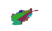
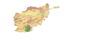
Digital polygon dataset of Geology of Afghanistan. This dataset is basic vector layer acquired from ESRI Data and Maps 2001.
-
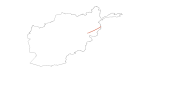
Digital line dataset of Geological fault lines of Afghanistan. This dataset is acquired from USGS.
-

Digital line dataset of location of Fault lines of Hindu Kush Himalayan (HKH) Region. This dataset is basic Vector layer acquired from USGS
-
Digital polygon dataset of Soil type of Gyoko Nepal. The dataset is created using Soil maps of Nepal,published by Department of Mines and Geology, Kathmandu Nepal.
-
Digital polygon dataset of Geological Joints of Afghanistan . This dataset is basic vector layer acquired from USGS.
-

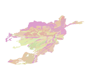
Digital polygon dataset of Soils of Hindu Kush Himalayan (HKH) Region. This dataset is basic Vector layer acquired from FAO.