 Metadata Catalogue
Flood
Type of resources
Available actions
Topics
Keywords
Contact for the resource
Provided by
Years
Representation types
Update frequencies
status
Scale
Resolution
-
Inundation layer for incremental discharge.
-
Flood risk layer for different return period.
-
Flood hazard layer for different return period.
-
Inundation layer for different return period.
-
Nepal is one of the most flood prone country and the flood hazard layer represents modelled hazard representations along major rivers of Nepal. The project with external funding was implemented by DWIDM.
-

Nepal is one of the most flood prone country and the flood hazard layer represents modelled hazard representations along major rivers of Nepal. The project with external funding was implemented by DWIDM.
-
Flood hazard layer for different return period.
-
This is the first inventory of glacial lakes of Bhutan Himalaya. The data is prepared using topographic maps and satellite images of Bhutan.
-
This is the first inventory of glaciers of Bhutan Himalaya. The data is prepared using topographic maps and satellite images of Bhutan.
-
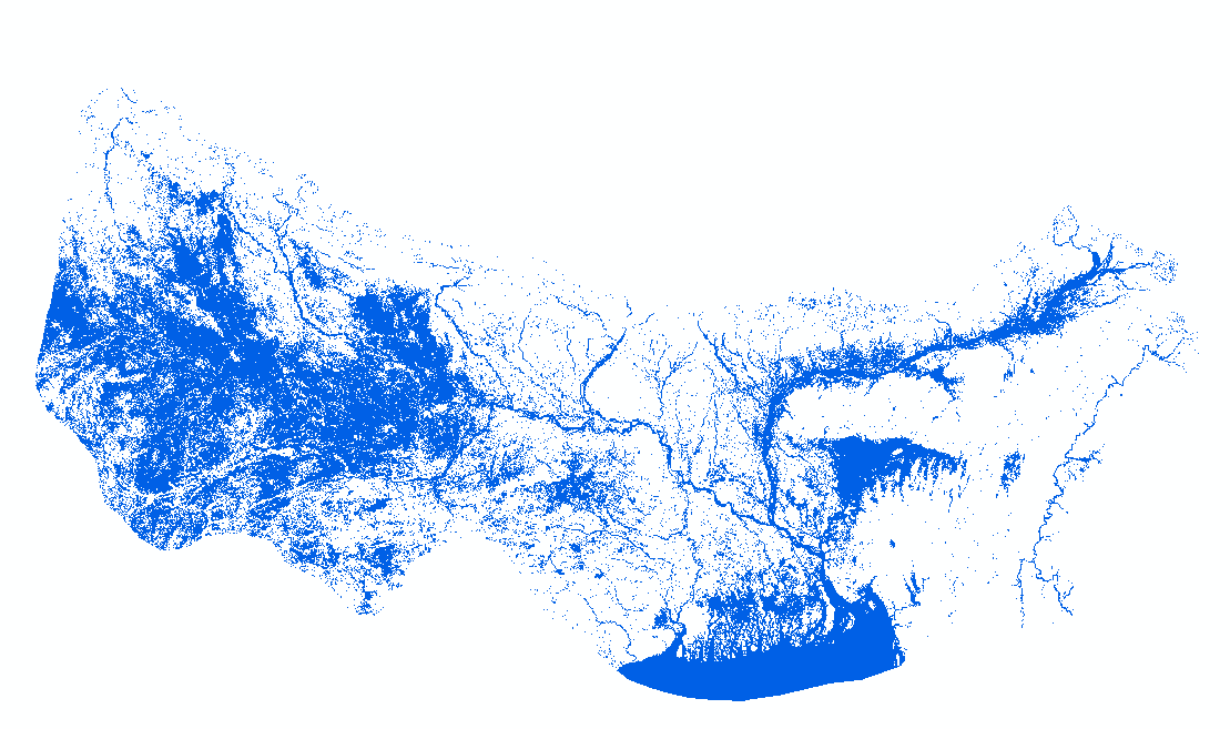
HydroSAR Hydro30 Surface Water Extent Product provides Radiometric Terrain Corrected (RTC) surface water extent over flood-prone regions in the Hindu Kush Himalaya (HKH) for the 2022 monsoon season. The data are generated from Sentinel-1 SAR imagery processed by ASF DAAC HyP3 using the hyp3_gamma plugin version 5.1.7 running GAMMA release 20210701.