Environment
Type of resources
Available actions
Topics
Keywords
Contact for the resource
Provided by
Years
Representation types
Update frequencies
status
Scale
Resolution
-
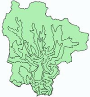
Digital polygon dataset of Ecological zones of Sagarmatha National Park, Nepal. This dataset is created using Ecological map of Nepal prepared by Dobremez, 1988. The data was prepared for the HKKH Partnership Project for Systemic Planning and Management of Mountain Ecosystems.
-
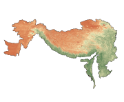
Digital grid data of NDVI of September of Hindu Kush Himalayan (HKH) Region. This dataset is basic vector layer derived from ESRI Map & Data in 2001.
-
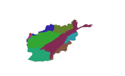
Digital polygon dataset of Geological zones of Afghanistan. This dataset is basic Vector layer acquired from USGS in 2001.
-
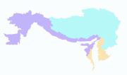
Digital polygon dataset of Geographic regions of Hindu Kush Himalayan (HKH) Region. This dataset is basic vector layer derived from ESRI Map & Data in 2001.
-
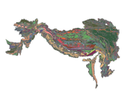
Digital polygon dataset of Divisions of Geological Time Scale of Hindu Kush Himalayan (HKH) Region. This dataset is basic Vector layer acquired from USGS in 1999.
-
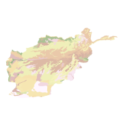
Digital polygon dataset of soil types of Afghanistan. This dataset is basic Vector layer acquired from USGS in 2001.
-

Digital polygon data of Geology of Nepal. This dataset is created using geological Map of 1,000,000 scale published by Department of Mines and Geology in 1994.
-
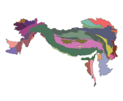
Digital polygon dataset of Geologic Province of Hindu Kush Himalayan (HKH) Region. This dataset is basic Vector layer acquired from USGS.
-
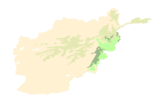
Digital polygon dataset of Major Habitat Areas of Afghanistan. This dataset is basic Vector layer acquired from ESRI Data and Maps 2001.
-
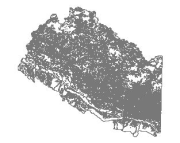
Digital polygon data of Land Capability of Western Nepal. The dataset includes details of land forms, slopes, soil type, drainage conditions etc. This dataset is created using Land use Map, published by Land Resource Mapping Project (LRMP), Dept. of Survey Kathmandu, Nepal in 1984.
 Metadata Catalogue