 Metadata Catalogue
Disaster
Type of resources
Available actions
Topics
Keywords
Contact for the resource
Provided by
Years
Representation types
Update frequencies
status
Scale
Resolution
-
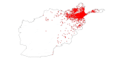
Digital point dataset of Earthquake Incident Locations of Afghanistan. This dataset is derived from Afghanistan Information Management Systems (AIMS), Afghanistan.
-

Digital point dataset of location of Volcanoes of Hindu Kush Himalayan (HKH) Region. This dataset is basic Vector layer acquired from USGS .
-
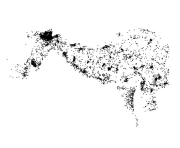
Digital point dataset of location of Earthquake incidents of Hindu Kush Himalayan (HKH) Region. This dataset is basic Vector layer acquired from USGS.
-

Nepal is one of the most flood prone country and the flood hazard layer represents modelled hazard representations along major rivers of Nepal. The project with external funding was implemented by DWIDM.
-

Nepal is one of the most flood prone country and the flood hazard layer represents modelled hazard representations along major rivers of Nepal. The project with external funding was implemented by DWIDM.
-
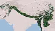
Compiled MODIS Active fire dataset of HKH region derived from FIRMS (Fire Information for Resource Management System). The data shows the locations of fire incidents within HKH region on various dates in the period between 2000 to 2010 along with the confidence level information of such incidents.
-

Moderate Resolution Imaging Spectroradiometer (MODIS) based active fire incidents in Bhutan from March 2012 to June 2016. The active fire data has been overlaid with land cover data of Bhutan to find out forest fire incidents in the country.
-

Moderate Resolution Imaging Spectroradiometer (MODIS) based active fire incident location data in Nepal from February 2012 to June 2016. The active fire data has been overlaid with land cover data of Nepal to find out forest fire incidents in the country.
-

Nepal is one of the most flood affected country in the world. The frequency, intensity and duration of floods has been increased during last few decades. Due to increased population settlements in floodplains and irregular development damage of infrastructure, crop and property has increased creating severe impact on lives and livelihood. Understanding the severity and identification of extent and types of flood damage is highly important to plan effective response. The aim of this study was to develop appropriate methodology to determine extent of flood and damaged areas in near real time basis to support operational response. We have used Sentinel-1 synthetic aperture radar (SAR) images to generate flood extend data for the year 2017.
-
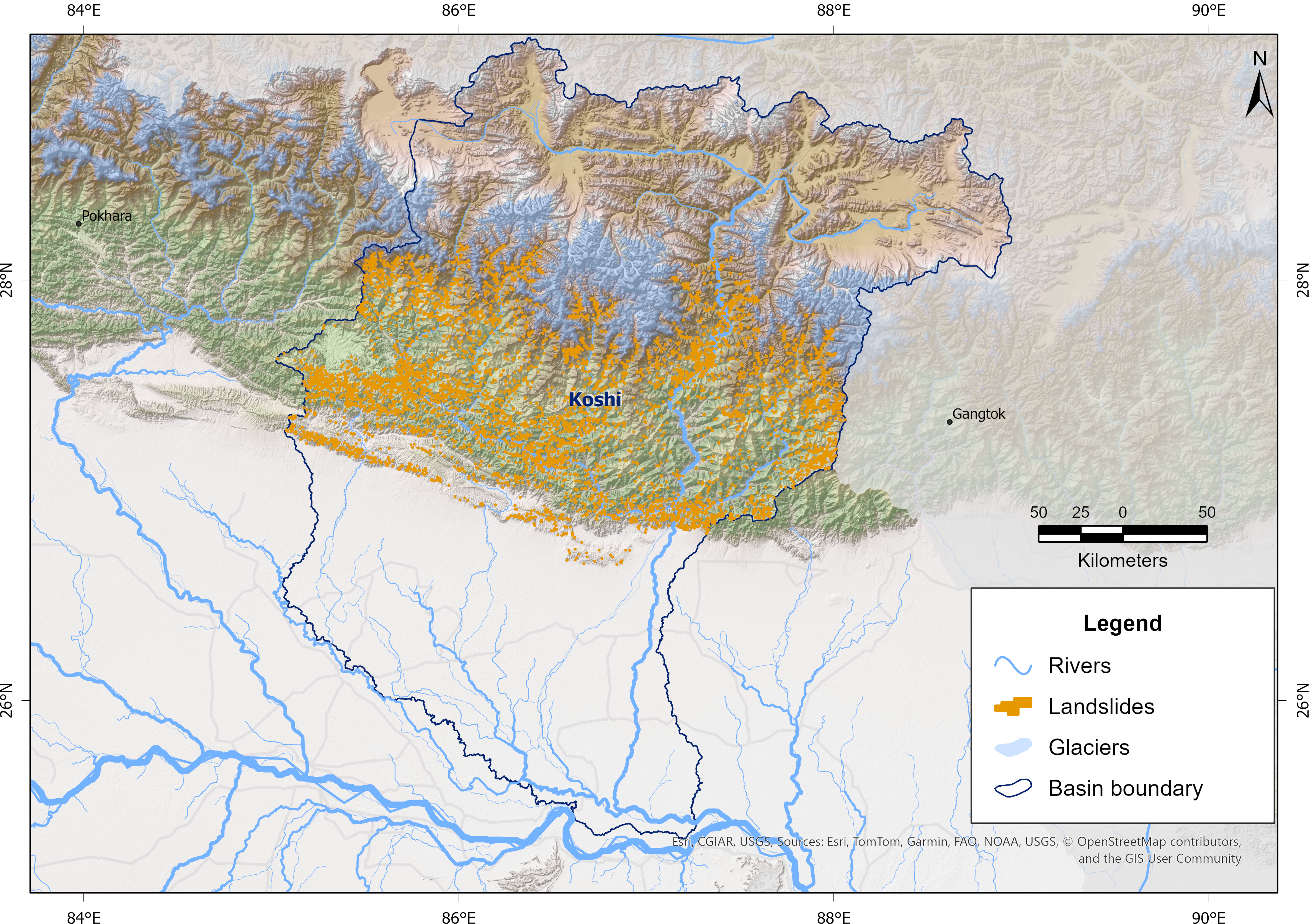
Landslides are a major natural hazard in the Himalayan region, causing significant damage to infrastructure, loss of life, and environmental impacts each year. The Koshi Basin is highly susceptible to landslides due to its steep terrain, intense monsoonal rainfall, active tectonics, and changing land use. To support hazard assessment and disaster risk reduction, a comprehensive landslide inventory of the Koshi Basin was developed using Sentinel-2 imagery and a U-Net-based semantic segmentation approach developed in collaboration with the University of Maryland, Baltimore County, and the NASA Goddard Space Flight Center (GSFC) for NASA’s High Mountain Asia Project. The model was trained using manually delineated multi-temporal landslide datasets from the 2015 Gorkha Earthquake-affected districts of Nepal, produced by NSET-Nepal and Durham University, UK, and accessed through NDRRMA. These automatically detected landslides were refined through manual editing and quality control, and the resulting dataset has been used for continued model improvement and training. The data were prepared as part of the Glacier to Ocean (G2O) Project of ICIMOD in collaboration with the Ocean Policy Research Institute of the Sasakawa Peace Foundation.