 Metadata Catalogue
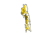
Chittagong Hill Tracts
Type of resources
Topics
Keywords
Contact for the resource
Provided by
Representation types
Update frequencies
status
Scale
-
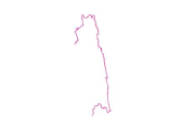
Digital line dataset of International Boundary of Chittagong Hill Tracts of Bangladesh. This dataset is basic vector layer based on LGED Administrative Base Map of Bangladesh.
-
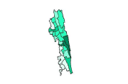
Digital polygon dataset of Health Services per District of Chittagong Hill Tracts of Bangladesh. This dataset is basic vector layer based on LGED Administrative Base Map and Bangladesh Bureau of Statistics (BBS) 2001.
-
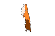
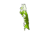
Digital polygon dataset of Crop production of Chittagong Hill Tracts of Bangladesh. This dataset is basic vector layer based on LGED Administrative Base Map and Bangladesh Bureau of Statistics (BBS) 2001.
-
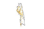
Digital point dataset of Location of Growth Centers of Chittagong Hill Tracts of Bangladesh. This dataset is basic vector layer based on LGED Administrative Base Map of Bangladesh.
-
Digital line dataset of Sub-District Boundary of Chittagong Hill Tracts of Bangladesh. This dataset is basic vector layer prepared based on LGED Administrative Base Map of Bangladesh.
-
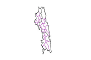
Digital polygon dataset of Population Distribution per District of Chittagong Hill Tracts of Bangladesh. This dataset is basic vector layer based on LGED Administrative Base Map and Bangladesh Bureau of Statistics (BBS) 2001.
-
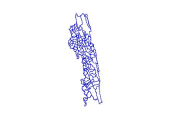
Digital line dataset of Union Boundary of Chittagong Hill Tracts of Bangladesh. This dataset is basic vector layer prepared based on LGED Administrative Base Map of Bangladesh.
-
Digital polygon dataset of Proportion of National Population of Chittagong Hill Tracts of Bangladesh. This dataset is basic vector layer based on LGED Administrative Base Map and Bangladesh Bureau of Statistics (BBS) 2001.
-
Digital point dataset of Location of Union Head Quarters of Chittagong Hill Tracts of Bangladesh. This dataset is basic vector layer based on LGED Administrative Base Map of Bangladesh.
-
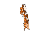
Digital polygon dataset of Economic Condition per District of Chittagong Hill Tracts of Bangladesh. This dataset is basic vector layer based on LGED Administrative Base Map and Bangladesh Bureau of Statistics (BBS) 2001.