 Metadata Catalogue
Keyword
Buffer zone boundary
Type of resources
Topics
Keywords
Contact for the resource
Provided by
Representation types
Update frequencies
status
Scale
From
1
-
1
/
1
-
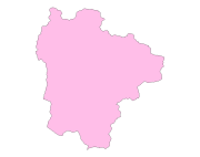
Digital polygon dataset of National Park and Buffer zone Boundary of Sagarmatha National Park, Nepal. This dataset is created using Topographical sheet data at scale of 25,000/50,000, of 1995 acquired from National Geographic Information Infrastructure Project (NGIIP), Department of Survey, Nepal and verified from WWF Nepal.