 Metadata Catalogue
Bhutan
Type of resources
Available actions
Topics
Keywords
Contact for the resource
Provided by
Years
Representation types
Update frequencies
status
Scale
Resolution
-
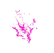
Digital point dataset of Settlements of Phobjikha valley, Bhutan. This dataset is created using topographic sheet maps at scale of 50000 and prepared by ICIMOD.
-
Digital point data of Trees location in RDT Centre of Bhutan. This dataset is prepared by ICIMOD based on ground survey 2008.
-
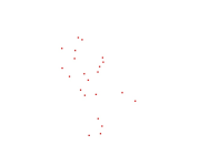
Digital point dataset of Populated places of Wangchu, Bhutan. This dataset is created using topographic sheet maps at scale of 50000 and prepared by ICIMOD.
-
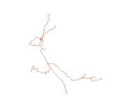
Digital line dataset of Road Network of Phobjikha Valley, Bhutan. This dataset is created using topographic sheet maps at scale of 50000 and prepared by ICIMOD.
-
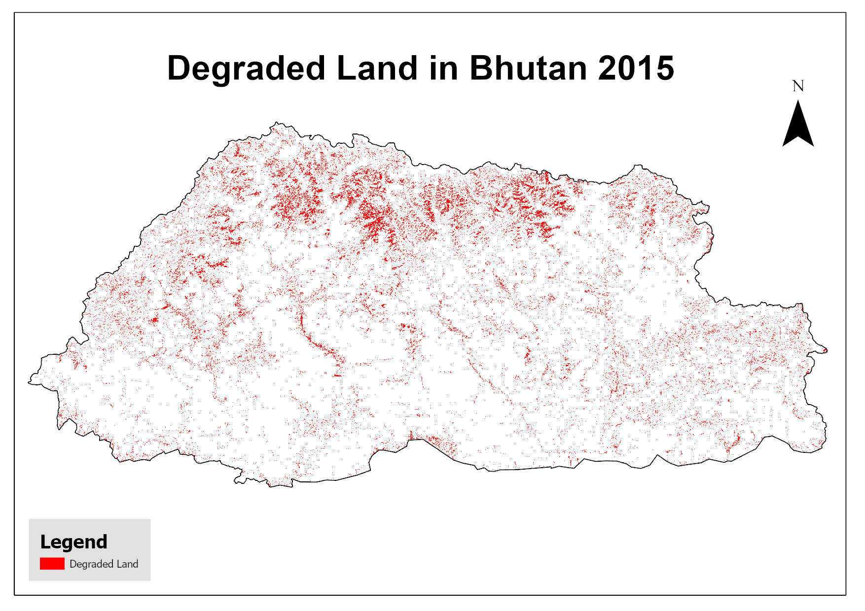
This dataset assesses land degradation in Bhutan in 2015 based on SDG Indicator 15.3.1 by analyzing changes in land cover, land productivity, and soil organic carbon stocks. The 1OAO principle is applied in the computation method where changes in the sub-indicators are classified as improving, declining and stable. A land unit is considered degraded if any sub-indicator shows a negative or remains stable when previously degraded.
-
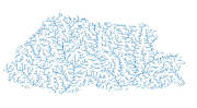
Digital line dataset of River Network of the Bhutan. This dataset is extracted using the SRTM DEM. The dataset is refined using LandSat images of 30m resolution and available higher resolution satellite images.
-

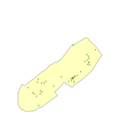
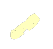
Administrative boundaries of Bhutan.
-
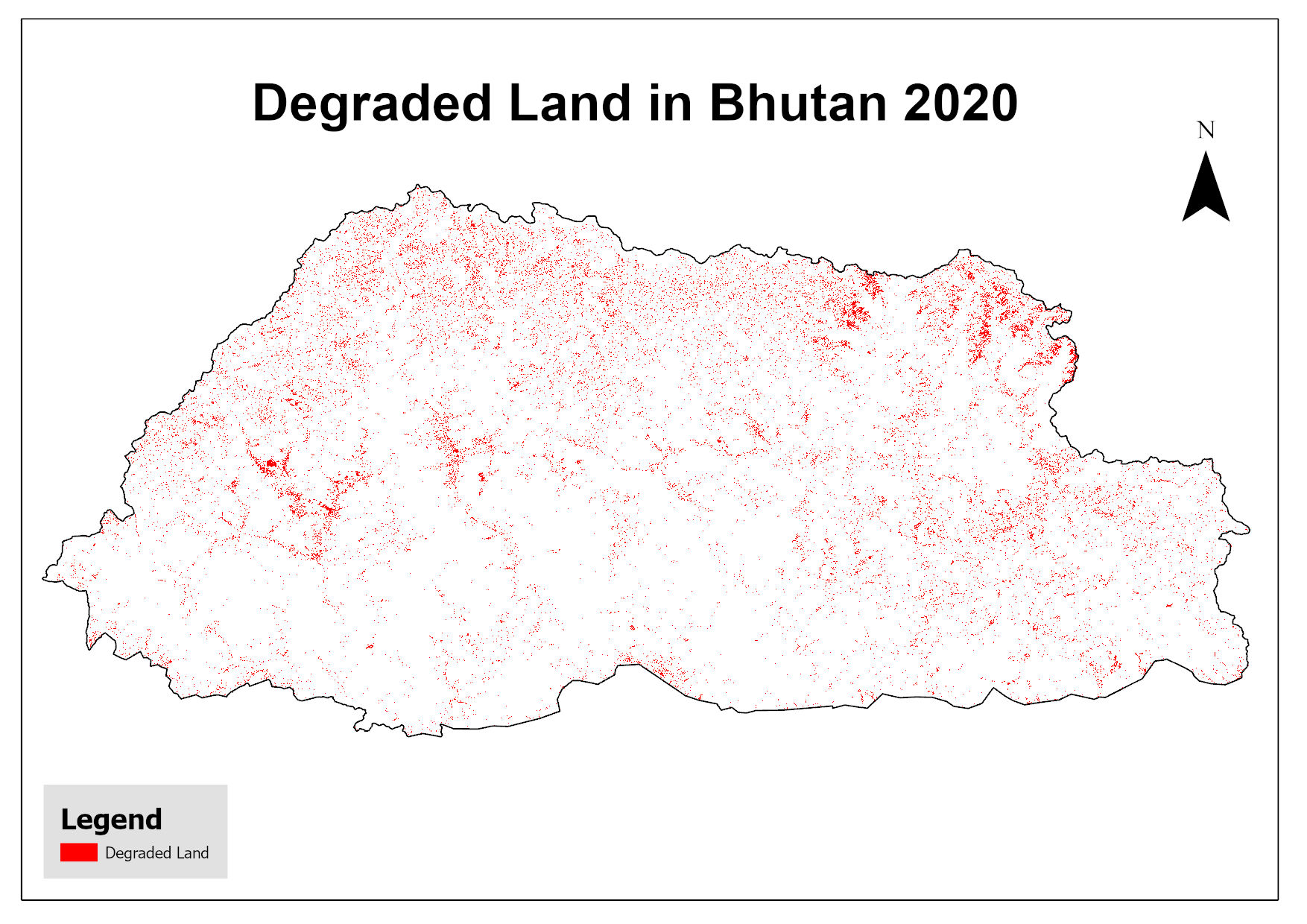
This dataset assesses land degradation in Bhutan in 2020 based on SDG Indicator 15.3.1 by analyzing changes in land cover, land productivity, and soil organic carbon stocks. The 1OAO principle is applied in the computation method where changes in the sub-indicators are classified as improving, declining and stable. A land unit is considered degraded if any sub-indicator shows a negative or remains stable when previously degraded.
-

Digital point dataset of Dam site locations of Wangchu, Bhutan. This dataset is created using topographic sheet maps at scale of 50000 and prepared by ICIMOD.
-
Digital point data of Electric Pole locations of RDT Centre of Bhutan. This dataset is prepared by ICIMOD based on ground survey 2008.