 Metadata Catalogue
Administrative boundary
Type of resources
Topics
Keywords
Contact for the resource
Provided by
Years
Representation types
Update frequencies
status
Scale
-
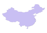
Digital polygon dataset of Country Boundary of China. This dataset is basic vector layer acquired from USGS.
-
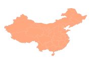
Digital polygon dataset of Province Boundary of China. This dataset is basic vector layer acquired from USGS.
-
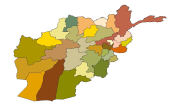
Digital polygon dataset of Province Boundary of Afghanistan. This dataset is created using 1:1,000,000 scale map of Afghanistan and derived from AIMS, Afghanistan.
-
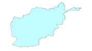
Digital polygon dataset of Country Boundary of Afghanistan. This dataset is created using 1:1,000,000 scale map of Afghanistan and derived from Afghanistan Information Management Systems (AIMS), Afghanistan.
-
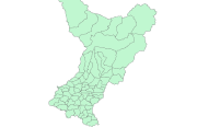
Digital polygon data of Village Development Committee, VDC Boundary of Gorkha District, Nepal. This dataset is created using Topographic sheet data at scale of 25000/50,000, of 1995 acquired from National Geographic Information Infrastructure Project (NGIIP), Dept. of Survey, Kathmandu, Nepal.
-
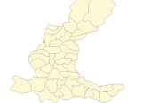
Digital polygon dataset of Village Development Committee, VDC Boundary of Dhading district, Nepal. This dataset is created using 1:125,000 scale District Map published by Department of Survey, Nepal 1984.
-
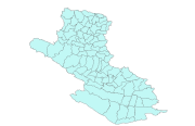
Digital polygon dataset of Village Development Committee, VDC Boundary of Dang and Salyan districts, Nepal. This dataset is created using 1:125,000 scale District Map published by Department of Survey, Nepal 1984.
-
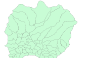
Digital polygon dataset of Village Development Committee, VDC Boundary of Lamjung district, Nepal. This dataset is created using Topographic sheet data at scale of 50,000acquired from Department of Survey, Kathmandu, Nepal.