 Metadata Catalogue
Spot Height of Kayar Khola Watershed, Chitwan Nepal
Digital point data of Spot height locations of Kayar Khola Watershed, Chitwan, Nepal. This dataset is created using Topographic sheet data at scale of 25,000/50,000, of 1995 acquired from National Geographic Information Infrastructure Project (NGIIP), Dept. of Survey, Kathmandu, Nepal. The data was prepared for the Reducing Emission from Deforestation and Forest Degradation (REDD) Pilot Project. This is a joint project of ICIMOD with Asian Network for Sustainable Agriculture and Bio-resources (ANSAB) and Federation of Community for Forest Users of Nepal (FECOFUN) funded by NORAD.
Simple
- Date ( Publication )
- 2010-07-31T00:00:00
- Edition
- First
- Identifier
- REDD, np
- Presentation form
- Digital map
- Purpose
- Topographic base data for general purpose The data was prepared for the Reducing Emission from Deforestation and Forest Degradation (REDD) Pilot Project.
- Status
- On going
- Maintenance and update frequency
- As needed
- Keywords ( Theme )
-
- REDD
- Elevation
- Topography
- Keywords ( Place )
-
- Kayar Khola Watershed
- Chitwan
- Nepal
- Access constraints
- Copyright
- Use constraints
- Other restrictions
- Other constraints
- The content of this website can be accessed, printed and downloaded in an unaltered form (altered including being stretched, compressed, coloured or altered in any way so as to distort content from its original proportions or format) with copyright acknowledged, on a temporary basis for personal study that is not for a direct or indirect commercial use and any non-commercial use. Any content printed or downloaded may not be sold, licensed, transferred, copied or reproduced in whole or in part in any manner or in or on any media to any person without the prior written consent of the ICIMOD
- Spatial representation type
- Vector
- Denominator
- 25000
- Metadata language
- eng
- Character set
- UTF8
- Topic category
-
- Elevation
N
S
E
W
))
- Supplemental Information
- Data Source for Map: Field data 2010, Base Map: Topographic map, Department of Survey 1995.
- Reference system identifier
- WGS 1984
- Protocol
- WWW:LINK-1.0-http--link
- Hierarchy level
- Dataset
- Statement
- The accuracy of the Digital Data prepared depends on the base source Data and Maps. No assessment or ground truthing has been carried out on this data.
- File identifier
- f5b36d10-1499-4fc9-b66e-b2f61e16fa63 XML
- Metadata language
- eng
- Character set
- UTF8
- Date stamp
- 2020-09-08T13:56:58
- Metadata standard name
- ISO 19115:2003/19139
- Metadata standard version
- 1.0
Distributor
ICIMOD
-
(
)
977-1-5003299
Khumaltar
,
Lalitpur
,
Kathmandu
,
3226
,
Nepal
977-1-5275222
977-1-5003299
Overviews
thumbnail
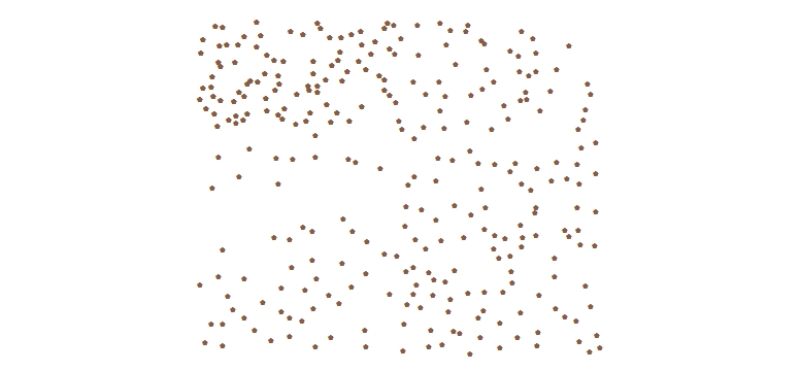
large_thumbnail
Spatial extent
N
S
E
W
Provided by

Associated resources
Not available