 Metadata Catalogue
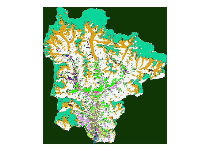
Land cover of 2000 Sagarmatha National Park (SNP) Nepal
Digital dataset of Land cover of 2000 Sagarmatha National Park, Nepal. This dataset is created using LandSat ETM+ satellite image of 2000 October 30.
Simple
- Date ( Publication )
- 2011-07-08T13:44:00
- Edition
- First
- Identifier
- np
- Presentation form
- Digital image
- Other citation details
- ICIMOD. (2011). Land cover of 2000 Sagarmatha National Park (SNP) Nepal [Data set]. ICIMOD. https://doi.org/10.26066/RDS.3311
- Purpose
- Land cover base data for general purpose
- Status
- Completed
Point of contact
ICIMOD
-
(
)
977-1-5003299
Khumaltar
,
Lalitpur
,
Kathmandu
,
3226
,
Nepal
977-1-5275222
977-1-5003299
- Maintenance and update frequency
- As needed
- Keywords ( Theme )
-
- Landcover
- Land Cover ETM
- Keywords ( Place )
-
- Sagarmatha National Park
- Nepal
- SNP
- Use limitation
- Creative Commons Attribution 4.0 International (CC BY 4.0)
- Access constraints
- License
- Use constraints
- License
- Spatial representation type
- Vector
- Denominator
- 50000
- Metadata language
- eng
- Character set
- UTF8
- Topic category
-
- Geoscientific information
N
S
E
W
))
- Reference system identifier
- WGS 1984
Distributor
ICIMOD
-
Mr. Govinda Joshi
(
Sr. Cartographer/GIS Analyst
)
977-1-5003299
Khumaltar
,
Lalitpur
,
Kathmandu
,
3226
,
Nepal
977-1-5275222
977-1-5003299
- OnLine resource
-
Data Download
(
WWW:LINK-1.0-http--related
)
Data Download
- Hierarchy level
- Dataset
- Statement
- Data source: LandSat ETM + 2000.
- File identifier
- e5da2659-930e-4da7-a3ea-2f8270e6686c XML
- Metadata language
- eng
- Character set
- UTF8
- Date stamp
- 2026-01-26T14:15:30
- Metadata standard name
- ISO 19115:2003/19139
- Metadata standard version
- 1.0
Point of contact
ICIMOD
-
Srijana Limbu
(
)
977-1-5003299
Khumaltar
,
Lalitpur
,
Kathmandu
,
3226
,
Nepal
977-1-5275222
977-1-5003299
Overviews

thumbnail
large_thumbnail
Spatial extent
N
S
E
W
Provided by

Associated resources
Not available