 Metadata Catalogue
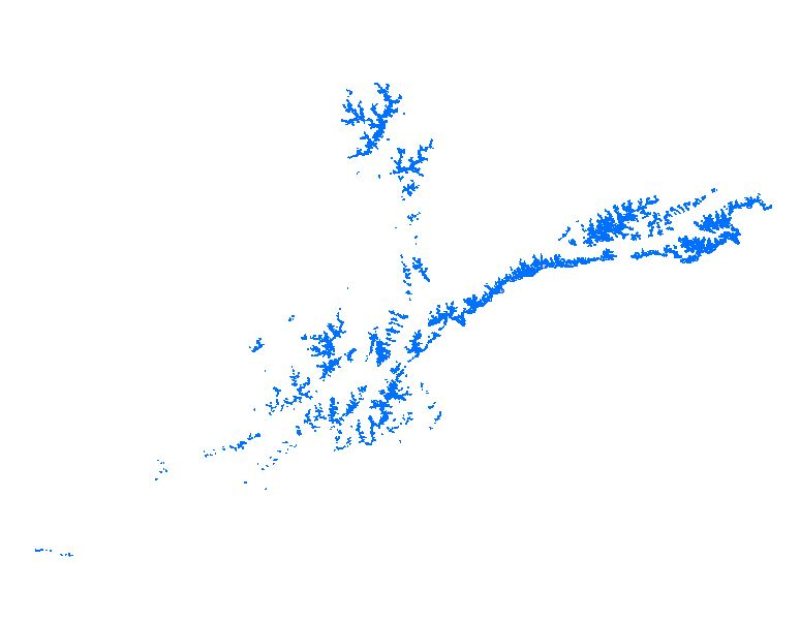
Glaciers of Afghanistan 1990
Glacier data of Afghanistan were prepared on the basis of Landsat imageries from 1990. The glacier outlines were derived semi-automatically using object-based image classification (OBIC) separately for clean-ice and debris-covered glaciers and further manual editing for quality assurance. The attributes of glacier data were derived from SRTM DEM. This dataset was jointly prepared by the Ministry of Energy and Water (MEW), Government of Afghanistan, and ICIMOD under the SERVIR-HKH Initiative.
Simple
- Date ( Publication )
- 2018-06-30
Author
ICIMOD; MEW, Afghanistan; SERVIR-HKH
-
Sudan Bikash Maharjan
(
RS Analyst - Cryosphere
)
Nepal
977-1-5275222
- Other citation details
- ICIMOD. (2019). Glaciers of Afghanistan 1990 [Data set]. ICIMOD. https://doi.org/10.26066/rds.35984
- Purpose
- This data provides the status and baseline information of glaciers to the researchers, scientists and policy makers for glacier melt water resource management, impact of climate change study, glacial hazard and risk reduction, and mitigation measures.
- Status
- Completed
- Maintenance and update frequency
- As needed
- ( Theme )
-
- Glacier
- Clean Ice
- Debris cover
- Cryosphere
- Keywords ( Place )
-
- Afghanistan
- Amu Darya
- Kabul
- Indus
- icimod-servir
- servircat
- servir-hkh
- Use limitation
- Creative Commons Attribution 4.0 International (CC BY 4.0)
- Access constraints
- License
- Use constraints
- License
- Denominator
- 50000
- Metadata language
- eng
- Character set
- UTF8
- Topic category
-
- Geoscientific information
N
S
E
W
))
- Reference system identifier
- WGS 1984
- Hierarchy level
- Dataset
- File identifier
- cd24abe1-be5e-4381-b552-5038841eb974 XML
- Metadata language
- eng
- Character set
- UTF8
- Hierarchy level
- Dataset
- Date stamp
- 2026-01-22T16:15:25
- Metadata standard name
- North American Profile of ISO 19115:2003
Overviews

thumbnail
large_thumbnail
Spatial extent

Provided by

Associated resources
Not available