 Metadata Catalogue
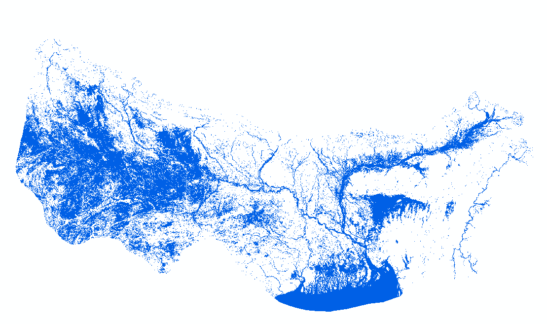
HydroSAR Hydro30 Surface Water Extent Product of flood-prone regions in the Hindu Kush Himalaya (HKH)
HydroSAR Hydro30 Surface Water Extent Product provides Radiometric Terrain Corrected (RTC) surface water extent over flood-prone regions in the Hindu Kush Himalaya (HKH) for the 2022 monsoon season. The data are generated from Sentinel-1 SAR imagery processed by ASF DAAC HyP3 using the hyp3_gamma plugin version 5.1.7 running GAMMA release 20210701.
Simple
- Date ( Publication )
- 2022-08-29
- Purpose
- Rapid mapping of flood inundation areas to understand the flood severity and support quick and effective response.
- Status
- Completed
- Maintenance and update frequency
- Daily
- ( Theme )
-
- Flood
- Inundation
- Sentinel-1
- Water area
- Keywords ( Place )
-
- Bangladesh
- India
- Nepal
- Terai
- Use limitation
- Free to use with attribution. Suggested credit statement: HydroSAR Hydro30 water extent product processed by ASF DAAC HyP3 2022 using the hyp3_gamma plugin version 5.1.7 running GAMMA release 20210701. Contains modified Copernicus Sentinel data 2022, processed by ESA.
- Access constraints
- Copyright
- Use constraints
- Copyright
- Distance
- 30 m
- Metadata language
- eng
- Character set
- UTF8
- Topic category
-
- Geoscientific information
N
S
E
W
))
- Reference system identifier
- Universal Transverse Mercator (UTM) / WGS 1984
- Distribution format
-
-
(
)
-
(
)
- Hierarchy level
- Dataset
- File identifier
- b2eaf6b4-b30e-40e5-8d7e-a64d2fa43655 XML
- Metadata language
- eng
- Character set
- UTF8
- Hierarchy level
- Dataset
- Date stamp
- 2025-10-07T16:43:53
- Metadata standard name
- North American Profile of ISO 19115:2003
Overviews
Spatial extent
N
S
E
W
Provided by

Associated resources
Not available