 Metadata Catalogue
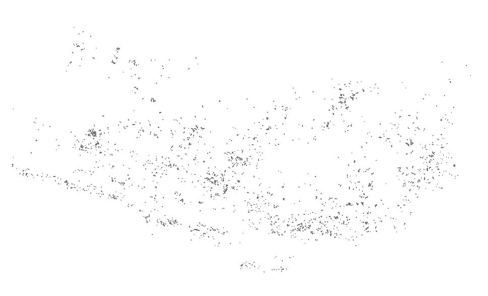
Landslide data of Koshi basin (within Nepal) of 1960 developed through remote sensing approach
Landslide data of Koshi basin was digitized from toposheet maps published in 1960s.
Simple
- Date ( Publication )
- 2017-11-23
- Other citation details
- ICIMOD. (2017). Landslide data of Koshi basin (within Nepal) of 1960 developed through remote sensing approach [Data set]. ICIMOD. https://doi.org/10.26066/RDS.34424
- Purpose
- Improved situational awareness of presence of landslide helps make risk informed decision for development of the area.
- Status
- Completed
- Maintenance and update frequency
- Not planned
- ( Theme )
-
- Landslide
- Keywords ( Place )
-
- Nepal
- Koshi basin
- Use limitation
- Creative Commons Attribution 4.0 International (CC BY 4.0)
- Access constraints
- Copyright
- Use constraints
- Copyright
- Denominator
- 50000
- Metadata language
- eng
- Character set
- UTF8
- Topic category
-
- Geoscientific information
N
S
E
W
))
- Reference system identifier
- WGS 1984
- Hierarchy level
- Dataset
- Description
- #ddesc#
- File identifier
- 79367ce2-b20b-4775-bb62-9e2bd25d6aec XML
- Metadata language
- eng
- Character set
- UTF8
- Hierarchy level
- Dataset
- Date stamp
- 2026-01-21T15:38:56
- Metadata standard name
- North American Profile of ISO 19115:2003
Overviews

thumbnail
large_thumbnail
Spatial extent

Provided by

Associated resources
Not available