 Metadata Catalogue
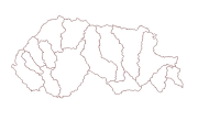
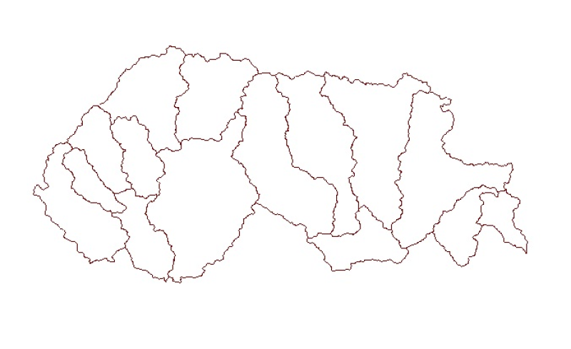
Sub Watershed Basin Boundary of Bhutan
Digital polygon dataset of Sub Watershed boundaries of Bhutan. This dataset is extracted using the SRTM DEM. The boundaries were refined using LandSat images of 30m resolution. The watershed boundaries were further divided into sub-watershed boundaries in the glaciated region.
Simple
- Date ( Publication )
- 2012-09-21
Originator
ICIMOD
-
(
)
977-1-5003299
ICIMOD
,
Khumaltar, Lalitpur
,
Kathmandu
,
3226
,
Nepal
977-1-5275222
977-1-5003299
- Purpose
- Water resource management and planning applications.
- Status
- Completed
- Maintenance and update frequency
- As needed
- ( Theme )
-
- Sub Basin Boundary
- Watershed
- Water Resource Management
- Keywords ( Place )
-
- Bhutan
- Access constraints
- Copyright
- Spatial representation type
- Vector
- Distance
- 50000
- Metadata language
- eng
- Character set
- UTF8
- Topic category
-
- Inland waters
N
S
E
W
))
- Reference system identifier
- WGS 1984
Distributor
ICIMOD
-
Mr. Govinda Joshi
(
Senior GIS Specialist
)
977-1-5003299
ICIMOD
,
Khumaltar, Lalitpur
,
Kathmandu
,
3226
,
Nepal
977-1-5275222
977-1-5003299
- Hierarchy level
- Dataset
- File identifier
- 63d676db-74d0-4ac6-ac56-55869482ccae XML
- Metadata language
- eng
- Character set
- UTF8
- Hierarchy level
- Dataset
- Date stamp
- 2020-09-08T14:05:20
- Metadata standard name
- ISO 19115:2003/19139
Author
ICIMOD
-
(
Senior GIS Specialist
)
977-1-5003299
ICIMOD
,
Khumaltar, lalitpur
,
Kathmandu
,
3226
,
Nepal
977-1-5275222
977-1-5003299
Overviews
thumbnail
large_thumbnail
Spatial extent

Provided by

Associated resources
Not available