 Metadata Catalogue
Main Trails of Sagarmatha National Park (SNP) Nepal
Digital line data of Major foot trails of Sagarmatha National Park, Nepal. This dataset is created using Topographic sheet data at scale of 25,000/50,000, of 1995 acquired from National Geographic Information Infrastructure Project (NGIIP), Dept. of Survey, Nepal.
Simple
- Date ( Publication )
- Edition
- First
- Identifier
- snp
- Presentation form
- Digital image
- Purpose
- Infrastructure base data for general purpose
- Status
- Completed
Point of contact
ICIMOD
-
(
)
977-1-5003299
Khumaltar
,
Lalitpur
,
Kathmandu
,
3226
,
Nepal
977-1-5275222
977-1-5003299
- Maintenance and update frequency
- As needed
- Keywords ( Theme )
-
- Transportation
- Road network
- Trail
- Keywords ( Place )
-
- Sagarmatha National Parks
- Nepal
- SNP
- Use limitation
- Creative Commons Attribution 4.0 International (CC BY 4.0)
- Access constraints
- Copyright
- Use constraints
- Other restrictions
- Spatial representation type
- Vector
- Denominator
- 50000
- Metadata language
- eng
- Character set
- UTF8
- Topic category
-
- Location
N
S
E
W
))
- Reference system identifier
- WGS 1984
Distributor
ICIMOD
-
Mr. Govinda Joshi
(
Sr. Cartographer/GIS Analyst
)
977-1-5003299
Khumaltar
,
Lalitpur
,
Kathmandu
,
3226
,
Nepal
977-1-5275222
977-1-5003299
- OnLine resource
-
Data Download
(
WWW:LINK-1.0-http--related
)
Data Download
- Hierarchy level
- Dataset
- Statement
- Data source: Department of Survey, Nepal 1995.
- File identifier
- 0ce43d68-7b81-401d-a265-4091b387730f XML
- Metadata language
- eng
- Character set
- UTF8
- Date stamp
- 2026-01-26T14:20:45
- Metadata standard name
- ISO 19115:2003/19139
- Metadata standard version
- 1.0
Point of contact
ICIMOD
-
Srijana Limbu
(
)
977-1-5003299
Khumaltar
,
Lalitpur
,
Kathmandu
,
3226
,
Nepal
977-1-5275222
977-1-5003299
Overviews
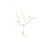
thumbnail
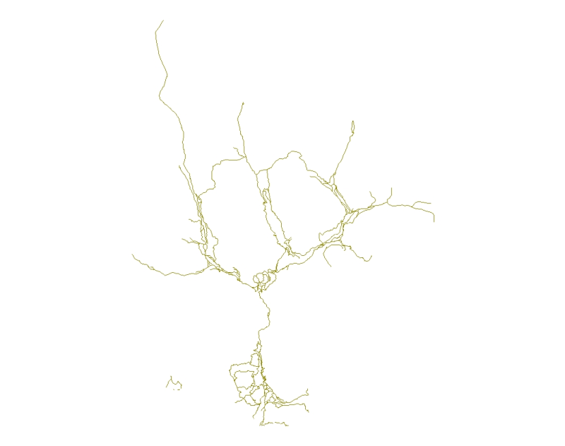
large_thumbnail
Spatial extent
N
S
E
W
Provided by

Associated resources
Not available