This occurrence database contains records of the lichens based on the herbarium specimens deposited at the Tribhuvan University Central Herbarium (TUCH) managed by the Central Department of Botany, T..
This occurrence database contains records of the lichens based on the herbarium specimens deposited at the Natural History Museum (NHM), Tribhuvan University Nepal. Situated on the lap of a world her..
The database contains occurrence records of the alien plants of Nepal based on the herbarium specimens that have been deposited at the National Herbarium and Plant Laboratories (KATH) of the Departme..
This dataset lists 21 species of Mistletoes compiled from literature resources as indicated in the dataset. Mistletoes constitute a polyphyletic group of flowering parasitic plants and are commonly k..
This study investigated the socio-economic factors leading to open agricultural burning in Nawalparasi, Kapilvastu and Rupandehi districts in Nepal. The data set consists of survey data from 388 farm..
Daily NEX-GDDP data (Tmin, Tmax and Precipitation) for different scenario (reference period, future projection), RCP 4.5 and RCP 8.5. These following models are included in data; ACCESS1-0,bcc-csm1-1..
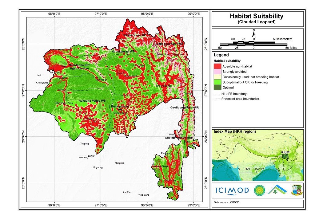
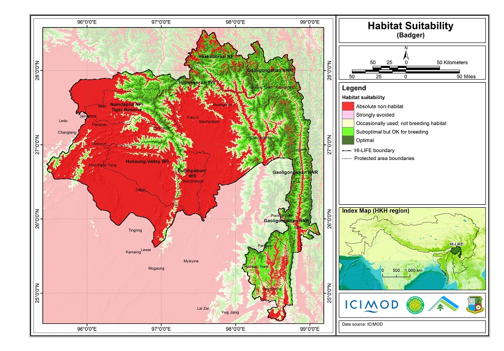
The Hindu Kush Himalayan region (HKH) is an important biodiversity hotspot with more than 488 protected areas covering 39% of the region's geographical coverage. A majority of the protected areas are..
The Hindu Kush Himalayan region (HKH) is an important biodiversity hotspot with more than 488 protected areas covering 39% of the region's geographical coverage. A majority of the protected areas are..
Coordinated Regional Climate Downscaling Experiment (CORDEX) data sets for the South Asian region assist the science community in conducting studies on climate change impacts at regional scales, and ..
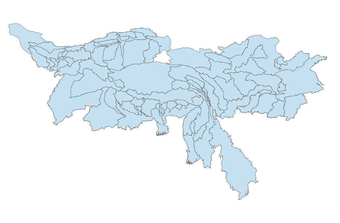
The dataset provides second level or sub-basin river boundaries of ten major river basins in the Hindu Kush Himalaya (HKH) region – the Amu Darya, Brahmaputra (Yarlungtsanpo), Ganges, Indus, Irrawadd..